Durham to Bournmoor
With less than 40 kilometres of Weardale Way left to go, Sam and I are itching to see the North Sea. So on a Saturday in May, we tackled the 20 or so kilometres between the city of Durham and the town of Bournmoor, crossing a great variety of what County Durham has to offer, for better or for worse.
We parked the car in Bournmoor, on a new estate they're building on the north side of the A183. The houses here are absolutely stunning: Victorian style with wide front doors and elegant brickwork (commanding staggering prices). We figured that no one would notice another Volvo parked amid the diggers and Benzes. From here, we took the GoNorthEast number 4 bus to High Dubmire, just outside Houghton-le-Spring, and then the X20 into Durham, disembarking just after the Gilesgate Roundabout, and making our way down to the riverside from there.
Durham City
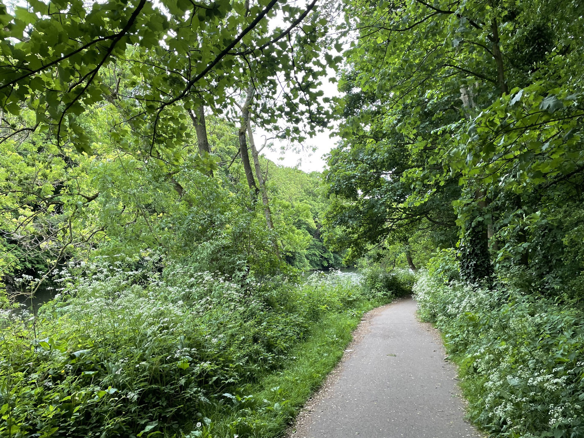
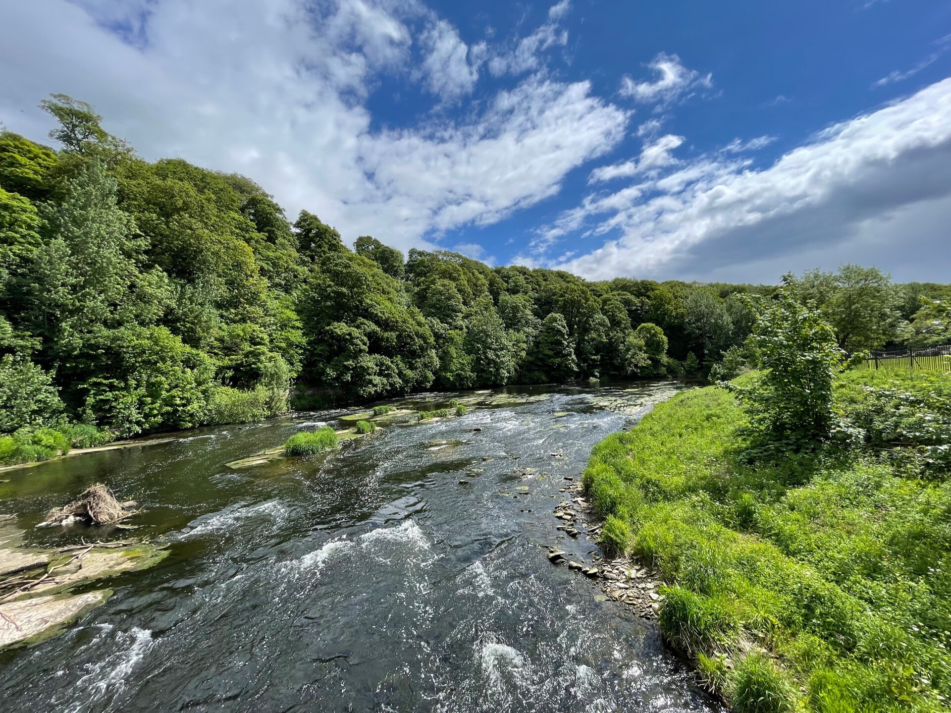
Durham always makes me want to get better at running. The riverside is beautiful, frequented by folks on bikes and long rowboats with eight people in them. The section in the big oxbow around the Bailey in particular is terrific: it's secluded and quiet and green, cut off from the noise of cars and the posh laughter of wealthy students.
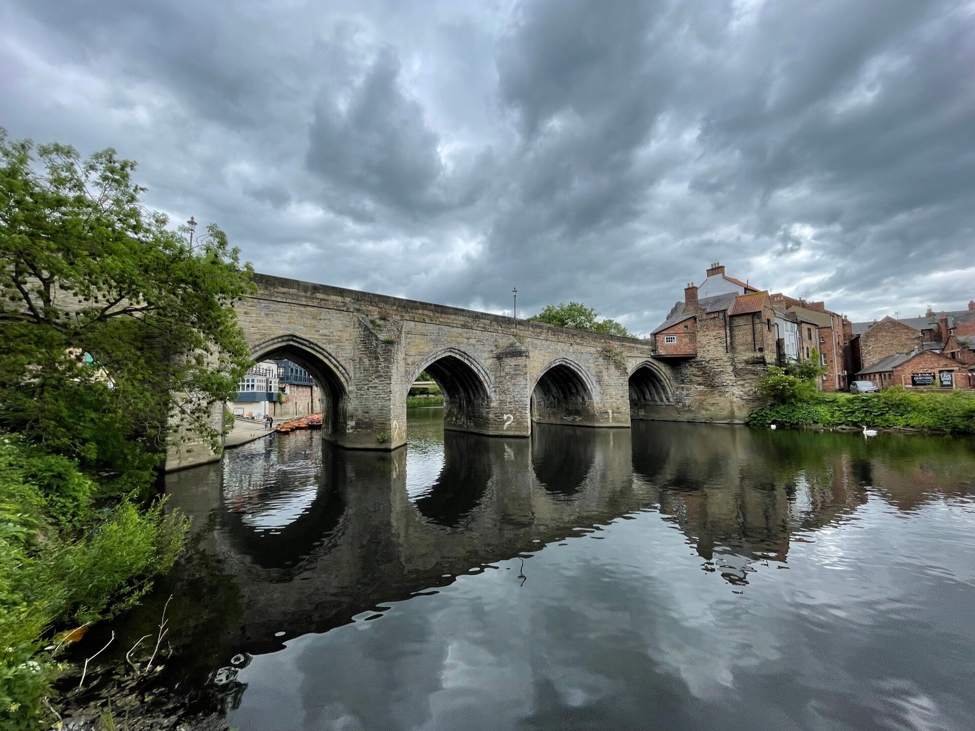
A couple of sights to see along the way, the first being the new Elvet Bridge (not very interesting, although newly renovated), and then the medieval Old Elvet Bridge—the oldest standing bridge on the Wear, dating to the 12th century, and of which much better-informed people than I have written extensively. Next, near the southernmost tip of the Bailey, is the Count's House, a 19th-century folly built for a Polish count of dubious provenance (the count, not the folly). It's a little sandstone-built house with classical-style columns and served as a nice spot for a quick drink before moving on.
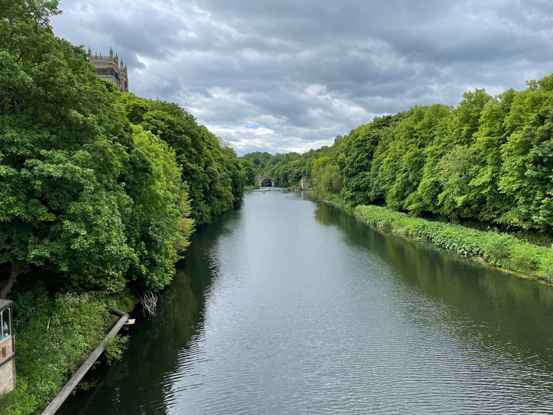
We meandered beneath a number of footbridges that cross the Wear at great height, passed the Old Fulling Mill on a weir, and then crossed over the Framwellgate Bridge (Durham's second-oldest, rebuilt after a floor in the 1400s) and continued along the left bank of the river. Another weir here, clogged with debris and leaking in a couple spots; it hadn't rained for a little while so the river wasn't as full as the weir-builders might have expected. Apparently there's a salmon-counter here; their populations have apparently bounced back tremendously in recent years.
Frankland & Finchale
Not a ton more to see here on the way out of the city. The following 8 kilometers or so are, without a doubt, the least picturesque part of the Weardale Way. If you're wearing running shoes, this is the time to use them. We passed Crook Hall, a medieval house and gardens that have gone under as a tourist attraction as a result of the pandemic; then we wandered further on down a paved road past an awful-smelling (& I mean awful-smelling) water treatment plant.
The road continued on upwards through cereal fields towards Frankland Farm and Park, where it sort of petered out, gradually going gravelly. We crossed a dismantled railway, pleased to find that the crossing signals were still in place, and turned left towards Her Majesty's Prison Frankland.
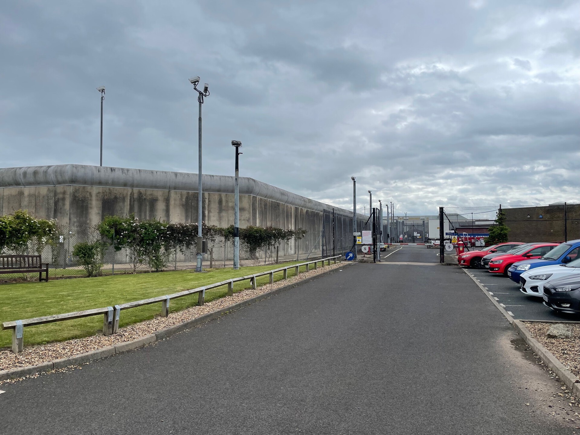
Frankland is a high-security prison holding some of the country's worst, and it is dead quiet when you walk by. The walls are some 30 feet high and solid concrete, surrounded by cameras and floodlights and signs warning you against throwing anything over them. Being in the surrounding area gives you the eerie feeling of being at once totally alone and meticulously observed. We hustled onwards.
A tedious section of road walking followed. While it's not a through road, it does have an attractive medieval abbey at the end of it, so we had to dodge a couple of leisure-seekers in BMWs along the way. In a field on the left side of the road, we spotted a set of 24 bunkers, half-bedded in the ground; this turned out to be a WWII-era munitions depot, pretty popular with urbex-types. Finchale Priory, at the end of the road, is a 13th-century priory associated with Durham Cathedral, and with an extensive but not particularly distinguished history—until our man Cromwell dissolved it with the rest of them. There's a lovely bridge over the Wear just past the monastery, though, leading into a steep climb up through a narrow wood and back out to another section of road walking.
The Way eventually left the road and crosses a couple of fields, skirting the town of Great Lumley on a high sloping bank above a couple bends in the Wear below. Great Lumley's locally famous for the proclivity of its colliery towards fatal explosions, but has since turned into a tidy, quiet suburb. We stopped on a bench for snacks & then carried on.
Lumley
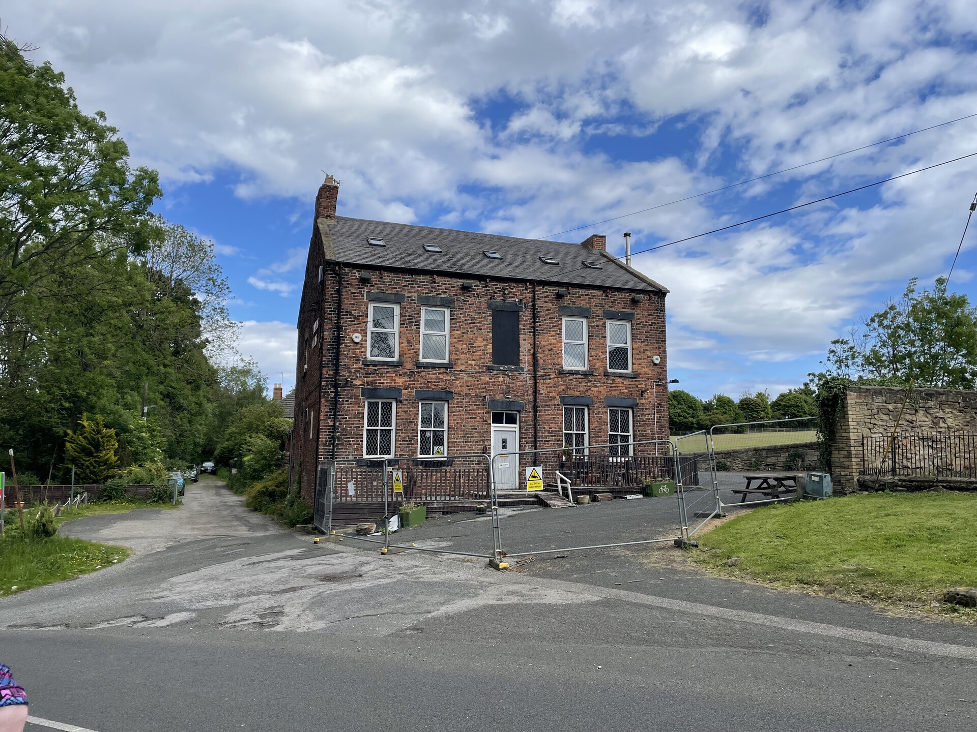
Beyond Great Lumley, the Way dropped down across a couple more fields, skirting and then finally entering a wood back down on the banks of the Wear. Easy walking on a suburban footpath along here, crossing under the B1284 and winding between holes on a golf course. Compelled by restrictive land use rights on the massive Lambton Park Estate, the Way broke off from the Wear here to follow Lumley Park Burn eastwards for some time, skirting the boundaries of Lumley Castle, which is charming but sort of thwarted by the roar of the nearby A1(M).
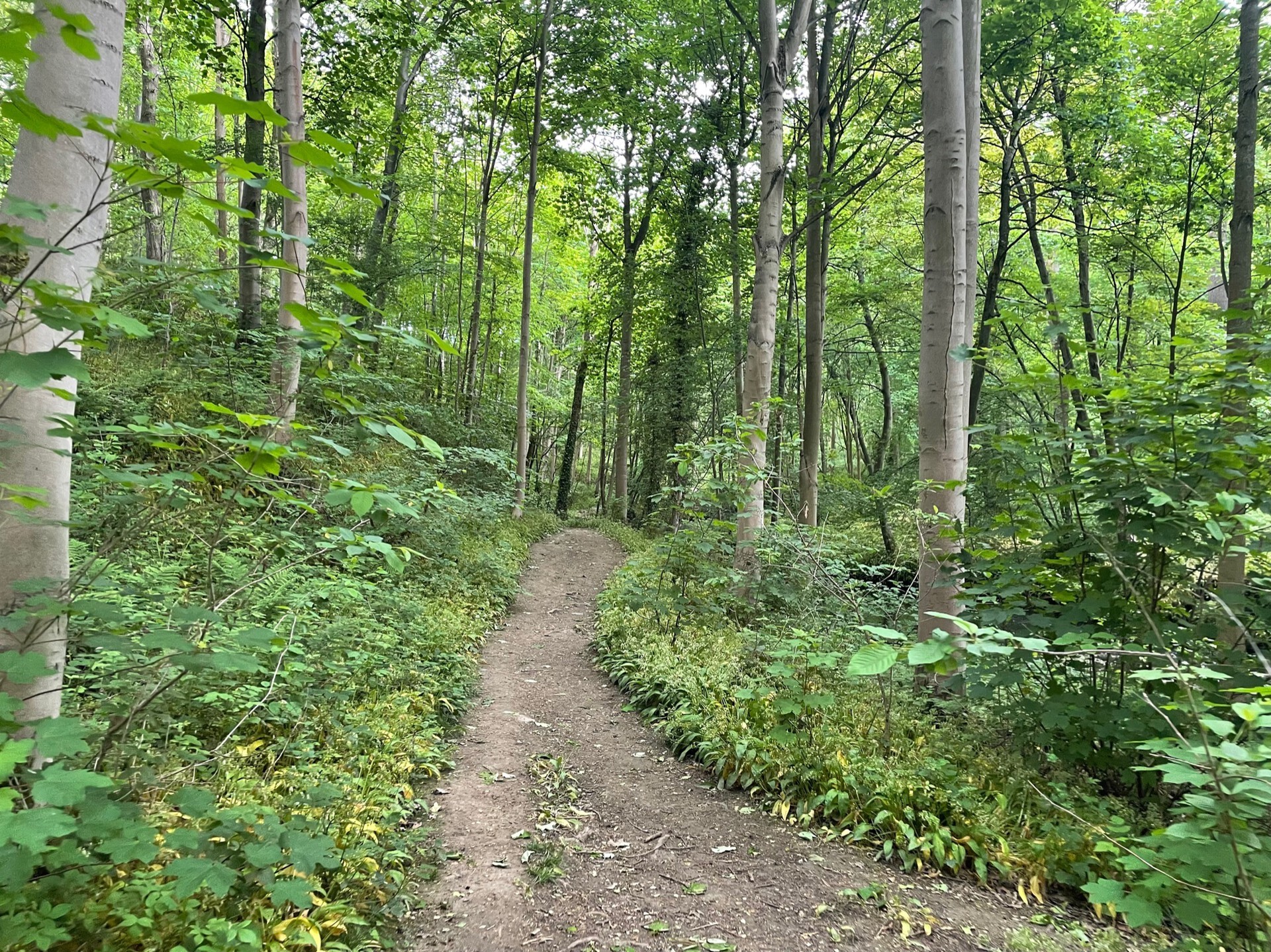
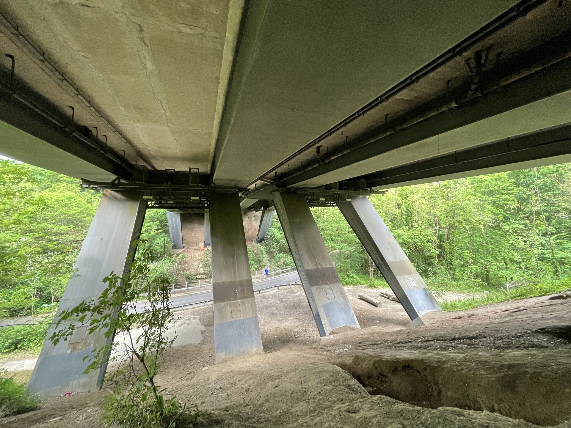
Road walking long behind us at this point, we relished in the quiet of the wooded Lumley Park Burn dene. Where the trail climbed above the dene, we could hear the A1(M), distantly, but in the dips the atmosphere was still and oxygen-rich, which, you can really tell the difference. A little ways on, the woods receded and we crossed under the mighty A1(M), followed the trail back into the woods for a little bit, and emerged near New Lambton, the tall evergreens and posh estate visible now in the distance, across a big field.
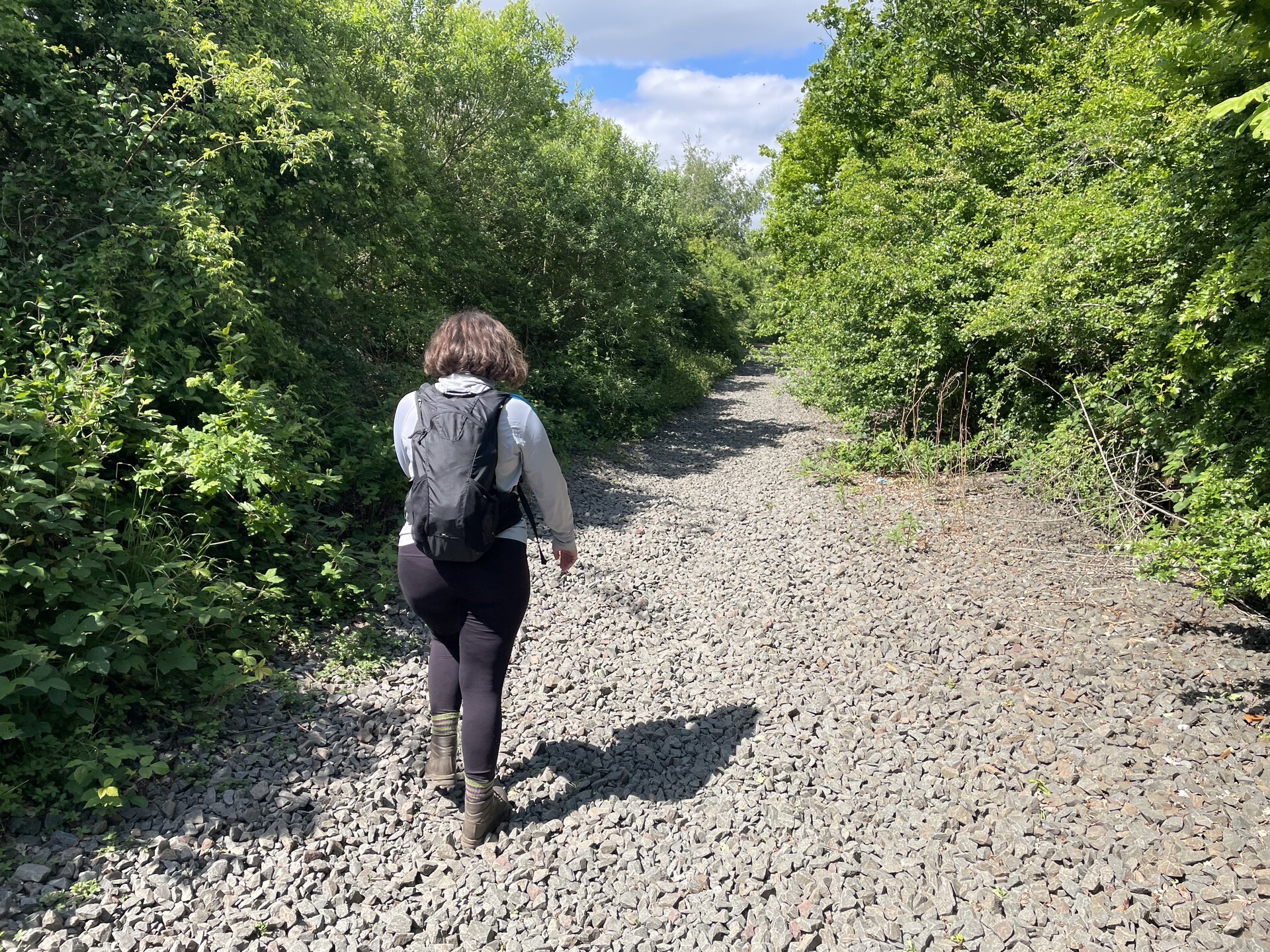
We followed the path of the disused Lambton Railway northeast for a little bit, then dropped off into a field for the last jaunt back to the car. We took a brief detour onto the erstwhile Leamside Line—one of the most recent railways in the North East to be closed, back in 2012. All of the railway ballast is still in place, which made the going rough—I can't recommend walking on it for any amount of time. Still, it was fun to see the last remnants of an old railway—one that might even be reopening sometime in the future.
By and by we made it out to the road, back to the Volvo, and on our way home.
Next
Previous