Fuyuji-yama (冬路山)
Fuyuji-yama (冬路山, 625.1 m) is a little mountain about 45 minutes northwest of Asahikawa, on the border with Horokanai Town. It’s actually one peak on an undulating ridgeline that forms a sort of bowl behind a big flat farmland. The two main peaks on this ridge are Fuyuji and Shirakke-yama (シラッケ山, 625 m), although there’s an unnamed peak that actually stands, at 640 meters, taller than either of them.
I went out to Fuyuji this past Saturday, which I think was an incredible day, weatherwise, for just about all of Hokkaido, judging by the pics people posted on Facebook. I followed Google Maps to the end of a looping road behind something called ‘Guest House Osarappe’ to get to the trailhead. The looping road, and a little spur that stretched north from it, was plowed, which was a blessing. There wasn’t any obvious parking for the mountain, so I wedged the car up as close as I could to the snowbanks by the intersection. I was out of the way, and I didn’t expect anyone else to come by here soon.
I had spent the past couple of mountains mostly skinning up and down, and not wanting to lug the skis around on the mountain, I decided to snowshoe up, which turned out to be a mistake. Near the trailhead I saw some snowshoe tracks near some ski tracks, but as I climbed, the snowshoes disappeared and the skis tracks multipied into maybe six or seven separate runs, big swoopy things through knee-deep powder, presumably a couple of days before. Oh well, I was already well on my way on the snowshoes.
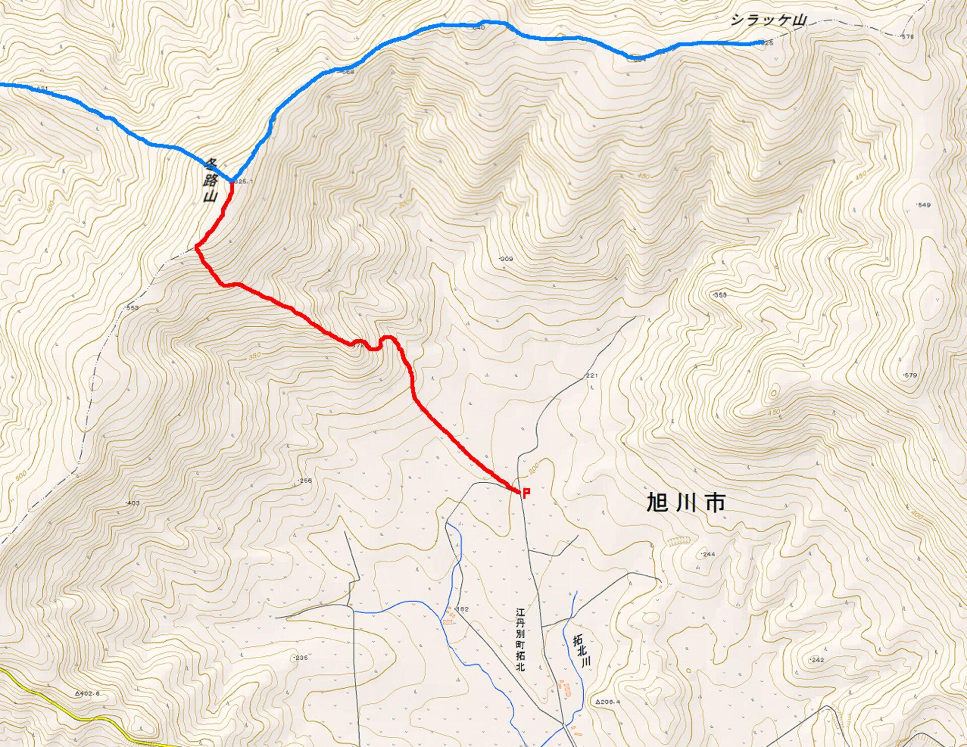
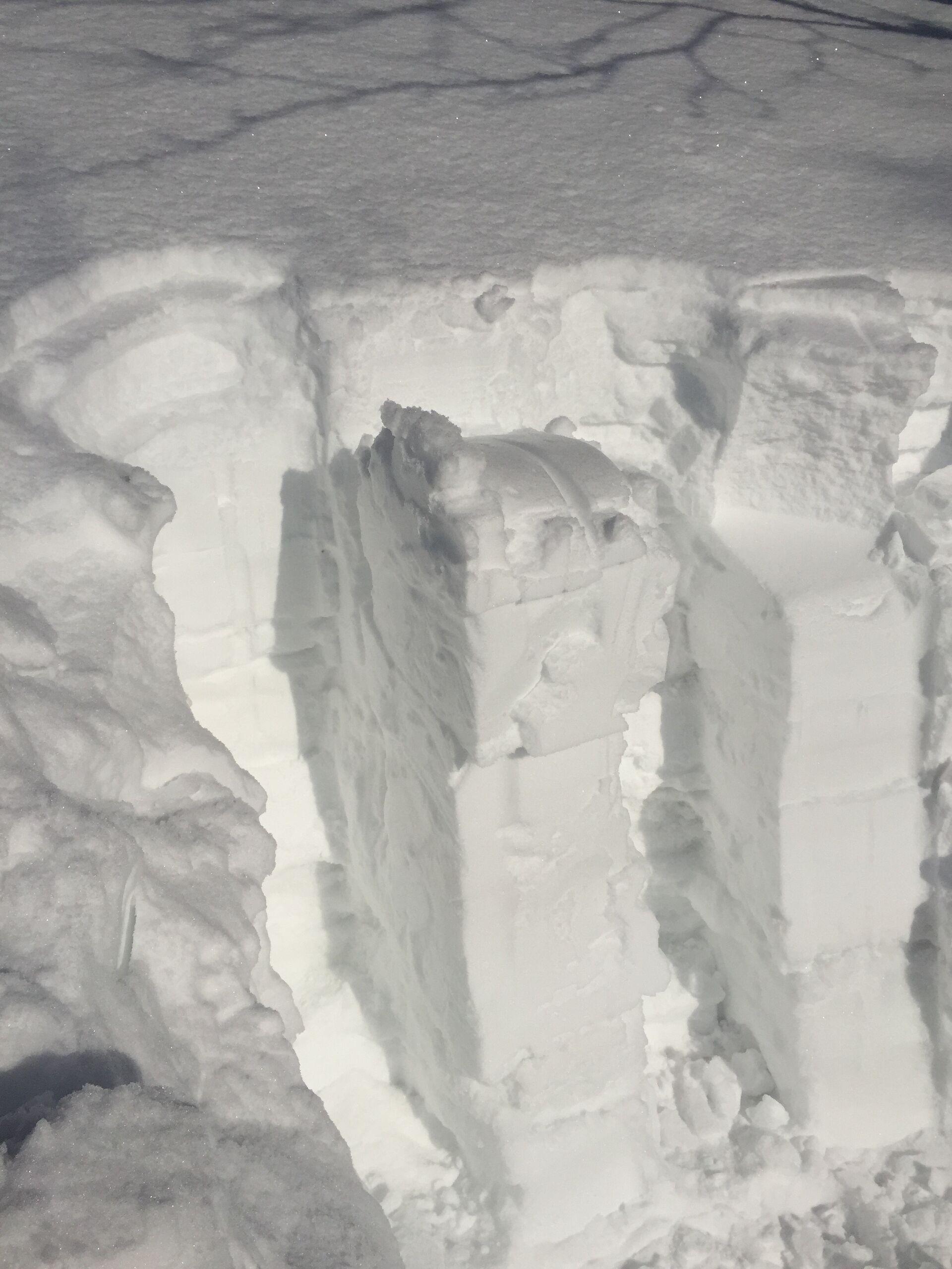
I walked for a little ways along the edge of a field before reaching a forest of what I think were Sakhalin fir, big dark evergreen things clustered tight together and with great deep tree wells for unwitting skiers to fall into. Fun fun. After a couple of minutes I came to a bit of a forest road, following the snowshoe and ski tracks up along it until it dead-ended at a little ravine.
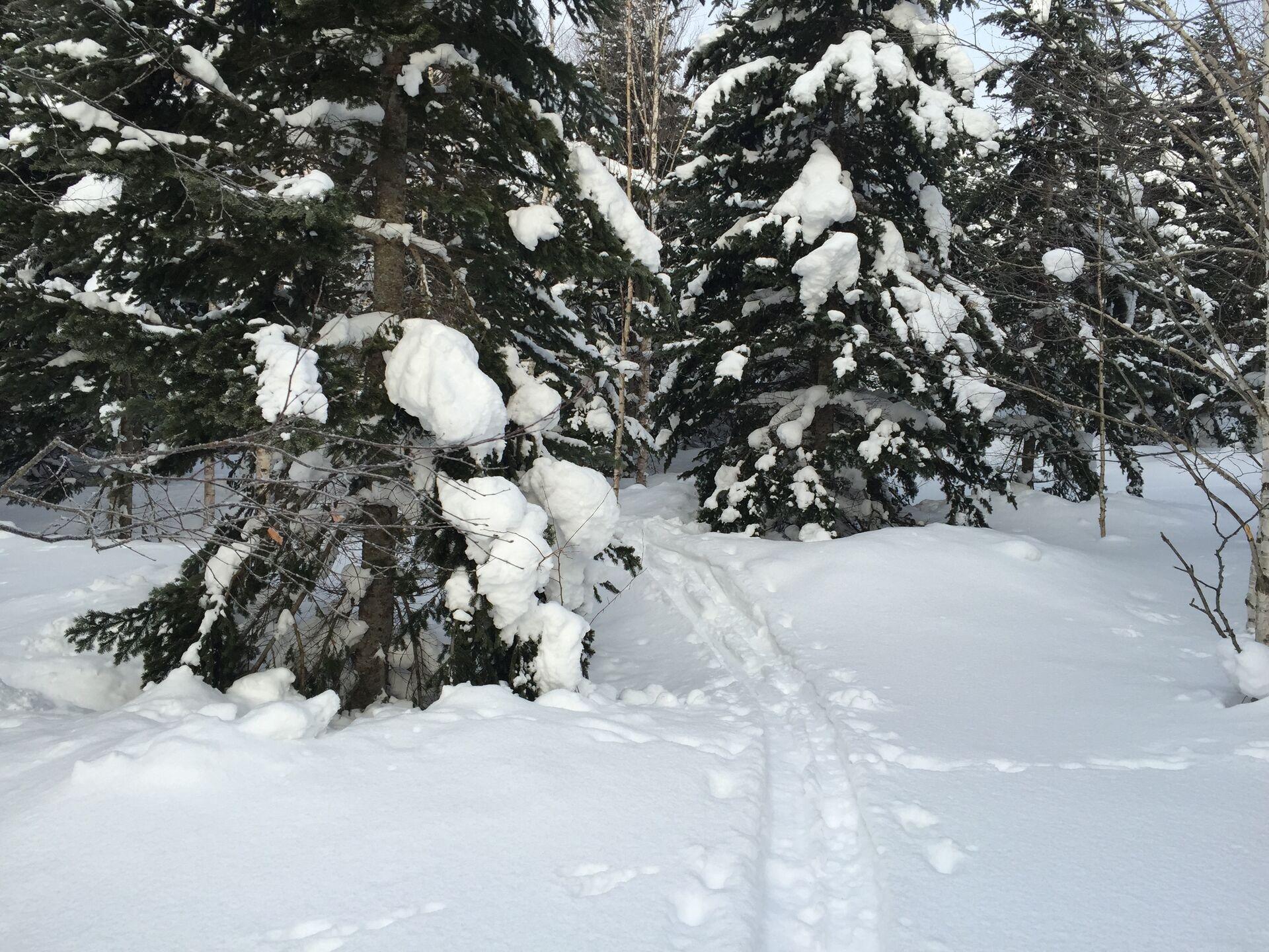
The snowshoe tracks descended into the ravine and climbed up from there, but I didn’t like the idea of climbing up the bottom of a ravine, so I started making my way straight up the north face of the adjoining ridge (which, admittedly, I probably wouldn’t have been able to do on skis; it’d have been a switchbacky laborious affair). It was a fairly short climb up to a bit of a lump in the ridge, where I stopped and ate some candy (Specifically Kamu Kamu Peach). Clouds had sort of shrouded the mountain when I arrived, but as the sun came up they were burning off and I could see the haze of Asahikawa off in the distance over the farmland below.
Heading up the ridgeline was pretty straightforward; I followed some of the ski tracks heading down the other way but it wasn’t tough to navigate. I had fun knocking some snow off the trees as I passed.
Below the summit it was quite steep; there was a big open field with deep S-turns etched on it that I didn’t want to ruin so I climbed up a little ways to the left. Halfway up I dug a pit and performed a couple of shovel compression tests. There was a couple of centimeters of loose powder sitting on top of about four cm of crust, and below that it was pretty evenly consolidated snow. There was a weak layer maybe 40-50 cm down that failed on the seventh swing from the shoulder. The split was along a very smooth layer. It took enough strength to make it fail that I wasn’t super worried, but I certainly kept it in mind. I got another layer to fail much further down (like 1.5 m below the surface), but it took enough effort and was deep enough down that it didn’t worry me.
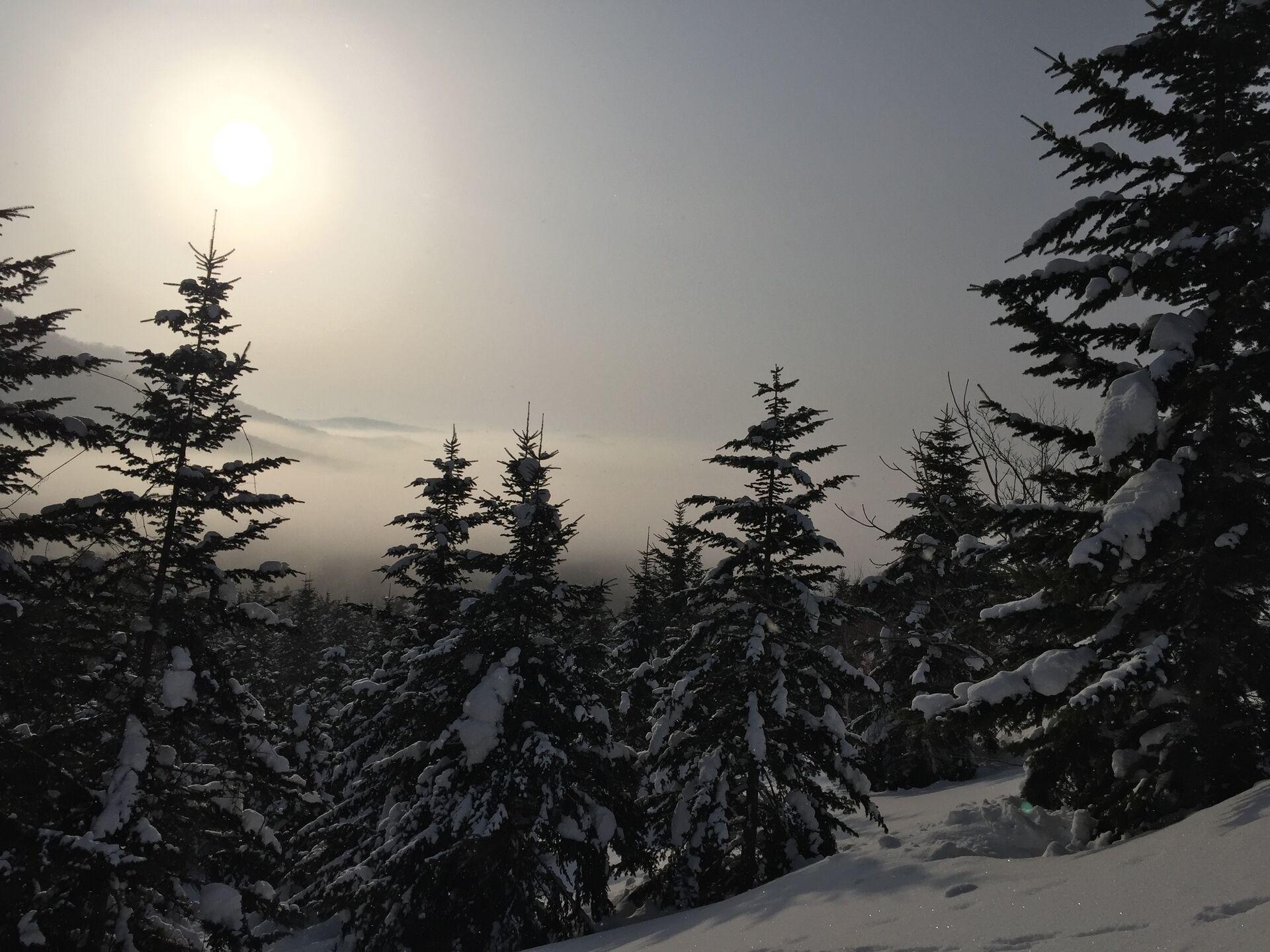
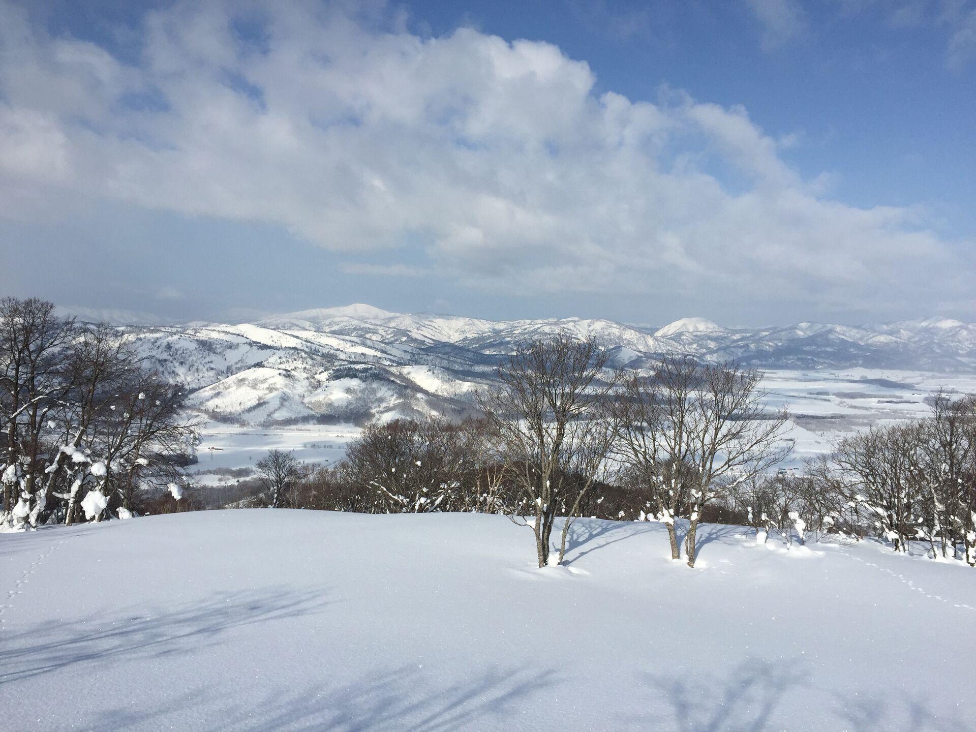
Past the avalanche test it was a pretty short climb through an open forest of big gnarled Erman’s birch up to the top of the ridge, and from the ridge I headed to the right, up the shallow slope towards the summit. The summit itself is broad and sparsely-treed; there’s a piece of pink tape tied to one of the little saplings to indicate the summit. The views are terrific, though: to the west you can see over the big plans surrounding Horokanai, and the low foothills of the Teshio Mountains. The long white ridge of Bozu-yama (坊主山, 776.1 m) and the sharp bald peak of some unnamed 672-m peak are particular standouts (left and right respectively in the second pic below). I imagine that on a super-clear day you could probably see all the way out to Shokanbetsu-dake (暑寒別岳, 1491.6 m) on that side. To the east you can easily see over Asahikawa and you’d probably have an amazing view of the Daisetsuzan; but if you could see the Daisetsuzan from the top of Fuyuji, you probably made the wrong decision and should be atop Asahidake (旭岳, 2291 m) right now.
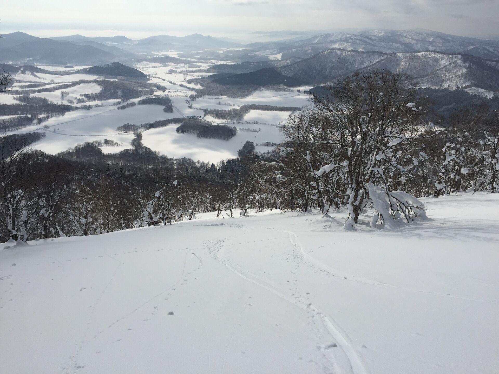
The descent was quite easy. I was a little miffed with myself that I had chosen today to snowshoe: the snow was crusty but the slope was good and the trees were wide enough that it would have been no problem to get up a little speed for some big turns. The only point I’d really have had to push myself along would have been the trek across the field back out to where I stashed the car.
OTHER WAYS YOU COULD CLIMB FUYUJI
It wouldn’t have been too much trouble to make the traverse from Fuyuji along the ridge to the northeast to Shirakke, and there’d probably be some good skiing down the slopes over there as well–the tradeoff being that you’d have to walk out a little ways.
It doesn’t look like the climb up from the Horokanai side of the mountain would be too bad either; in fact, I did see some ski tracks coming up from that side. There’s a pretty attractive ridgeline, in fact, coming up that side, that would lead you right up to the summit.
Trailhead: 7:01 -> lump: 7:33 -> avalanche test 7:56-8:38 -> summit: 8:57 -> trailhead: 9:37
climbing time: 1 hour, 56 minutes / descending time: 40 minutes