Naei-zan (那英山)
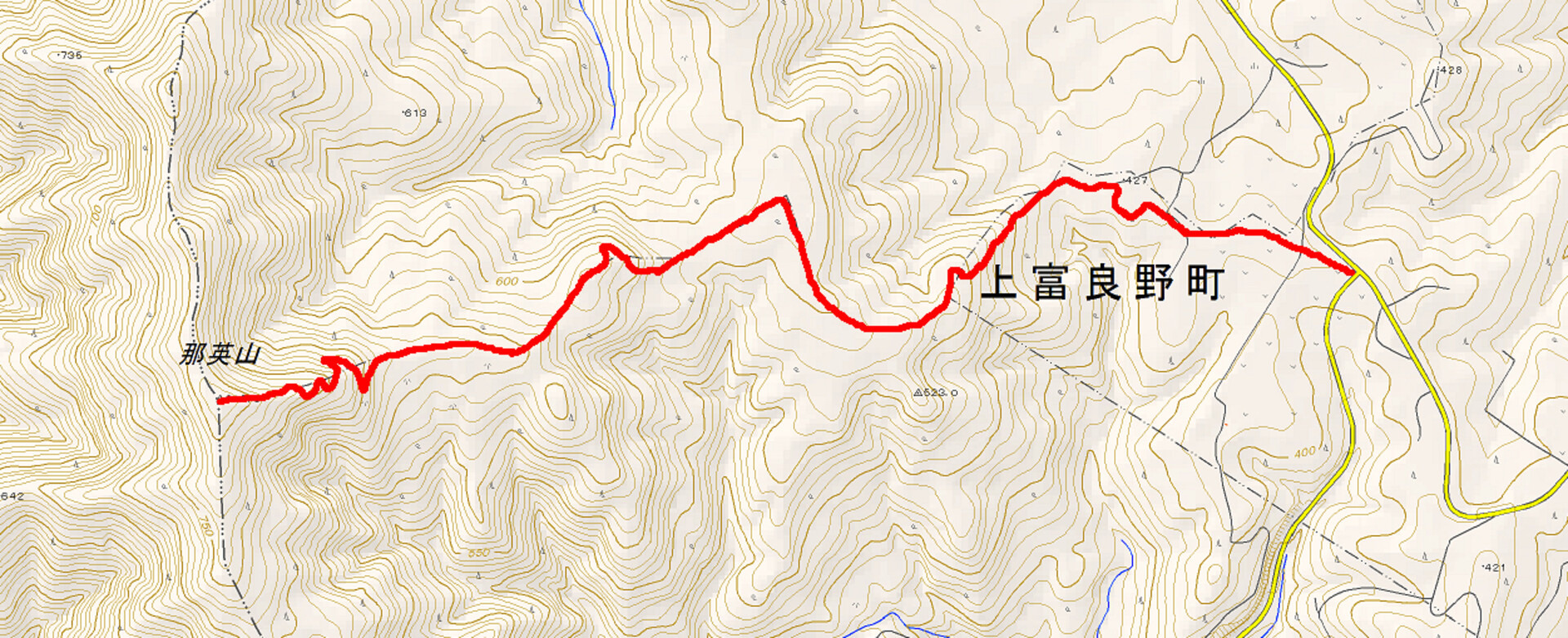
This past weekend I went out to Naei-zan (那英山, 819 m), a short mountain on the west side of the Furano Basin near Kamifurano, with Sam and a couple of Japanese friends. We’d seen the mountain on the blog of a group of Japanese hikers (Naei-zan in particular here) and had gotten a little excited about the purported views from the mountainside–looking across the basin and farmland towards the characteristically sweeping faces of the Tokachi Mountains. It also didn’t seem to be a particularly long trip to the summit, which appealed to me after we didn’t make it to the summit of Fujigata-yama (富士形山, 638 m) last weekend, due to a super-long approach. Pff.
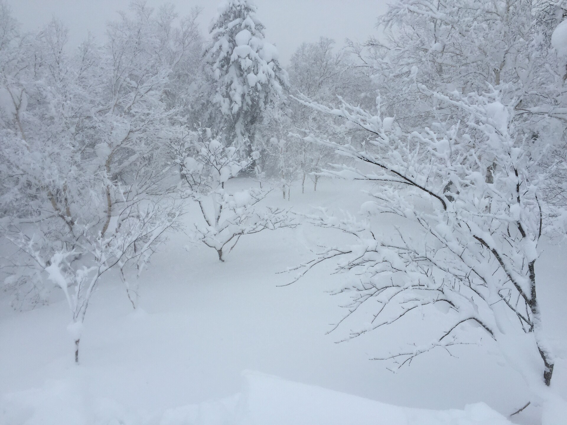
Unfortunately the morning of the climb was a snowy one; visibility couldn’t have been more than 150 meters or so. Dang. At any rate, we made our way from Asahikawa down to Kamifurano through the snow. The mountain isn’t particularly popular, so there’s no parking (or even a trailhead, really), but there’s a bit of a pulloff at the intersection of Prefectural Routes 581 and 759 where we shoveled out a space for two cars. In a pinch you could probably park three cars on this pulloff, but that’d be pushing it a bit.
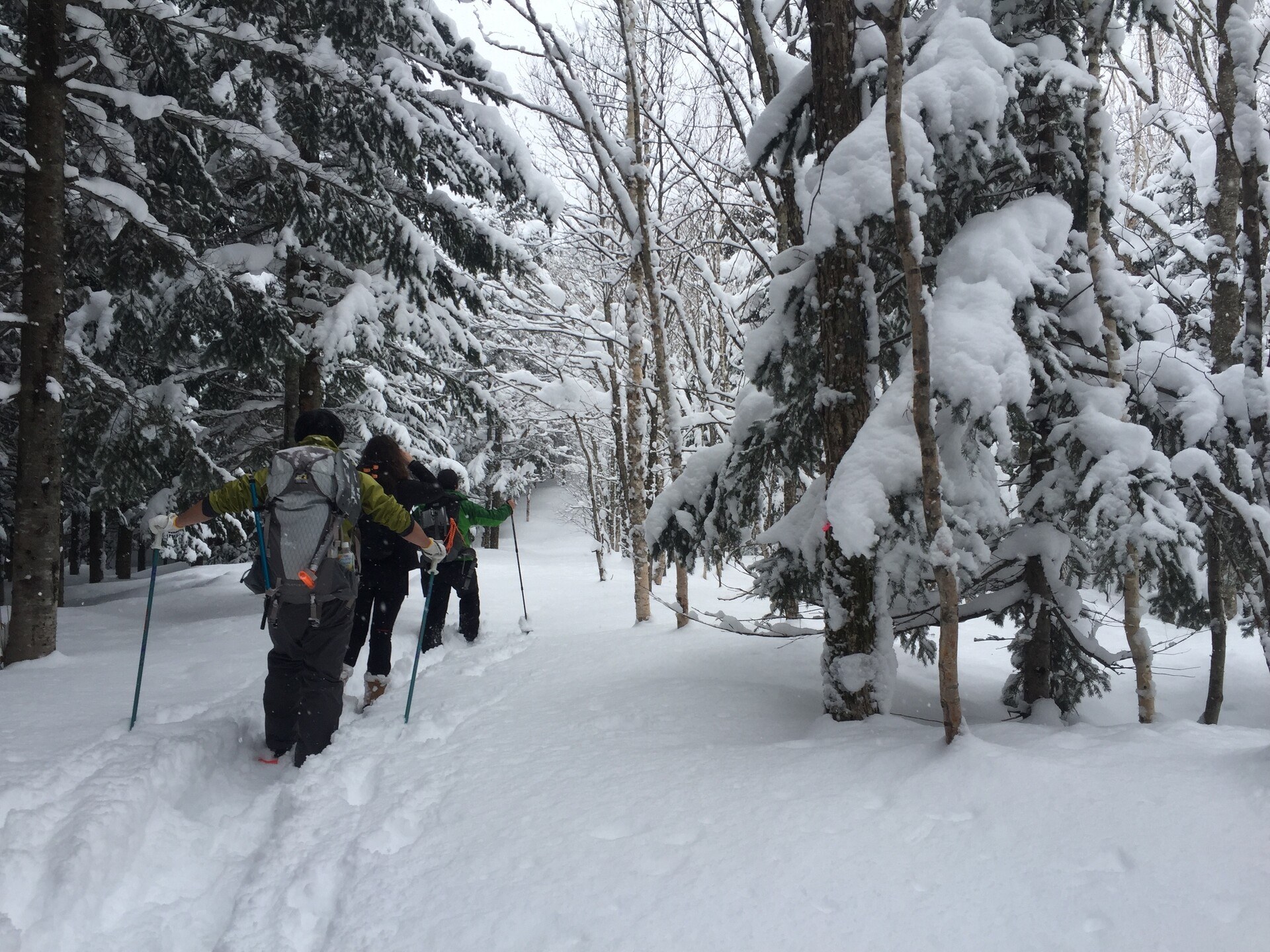
We got our gear ready, crossed the street, clambered up besides some windbreaks, and headed off across a typically Furano-esque rolling field. On the far side of the field was a second-growth forest beyond which the mountain rose up into the snow. We headed for a little break in the forest along what would have been a dirt path in the summertime, maybe navigable by tractor. We skirted the margin between a stand of younger trees and a tall, orderly forest of second-growth softwoods, wandering for a little while into the young trees when I lost the dirt path. The path opened up at the back of the stand of younger trees and climbed up into the forest.
The first climb wound through more of that second-growth softwood forest. Many of the trees here were tagged with numbered pink tape, and there was a pretty clear switchbacky route upwards; when the slope slackened out we just climbed straight up. Eventually we reached a bit of a plateau and passed into first-growth forest, lots of white birch, which is called shirakaba in Japanese. From here on out we followed pink tags tied to the trees; every now and again we saw a red tin plaque nailed to a tree noting that we were on the boundary between the towns of Nakafurano and Biei. The way forward was pretty evident–it was clear to us that we were following some kind of trail.
We eventually came to another climb, switching back a little bit when we came to what looked suspiciously like a road. At the top of the climb was another flattish section before we climbed a short rise up to a wide ridgeline. The southern face of the ridgeline was pretty bare; a few young trees stuck up through the snow. We traveled along the north side of this open area before coming to the bottom of the last climb up to the summit, where we dug a hole in the snow and performed a compression test to check the snow for avalanches. The slope above was similarly bare and reasonably steep and I didn’t want to get into any trouble.
Snowpack was a little more than 2 meters deep, with maybe 15 cm of powder on top and a pretty well-consolidated 1.5 m layer of firm snow underneath. The bottom 30 cm or so was made up of bigger ice crystals, probably snow that melted early in the season and refroze at night. I was a little worried about it but it took some serious pounding on my shovel to get a column of snow to fail at the boundary between the 1.5-meter layer and the ice crystals beneath. When I got above the snow and jumped on it with my skis I couldn’t get it to break, so I figured we were safe.
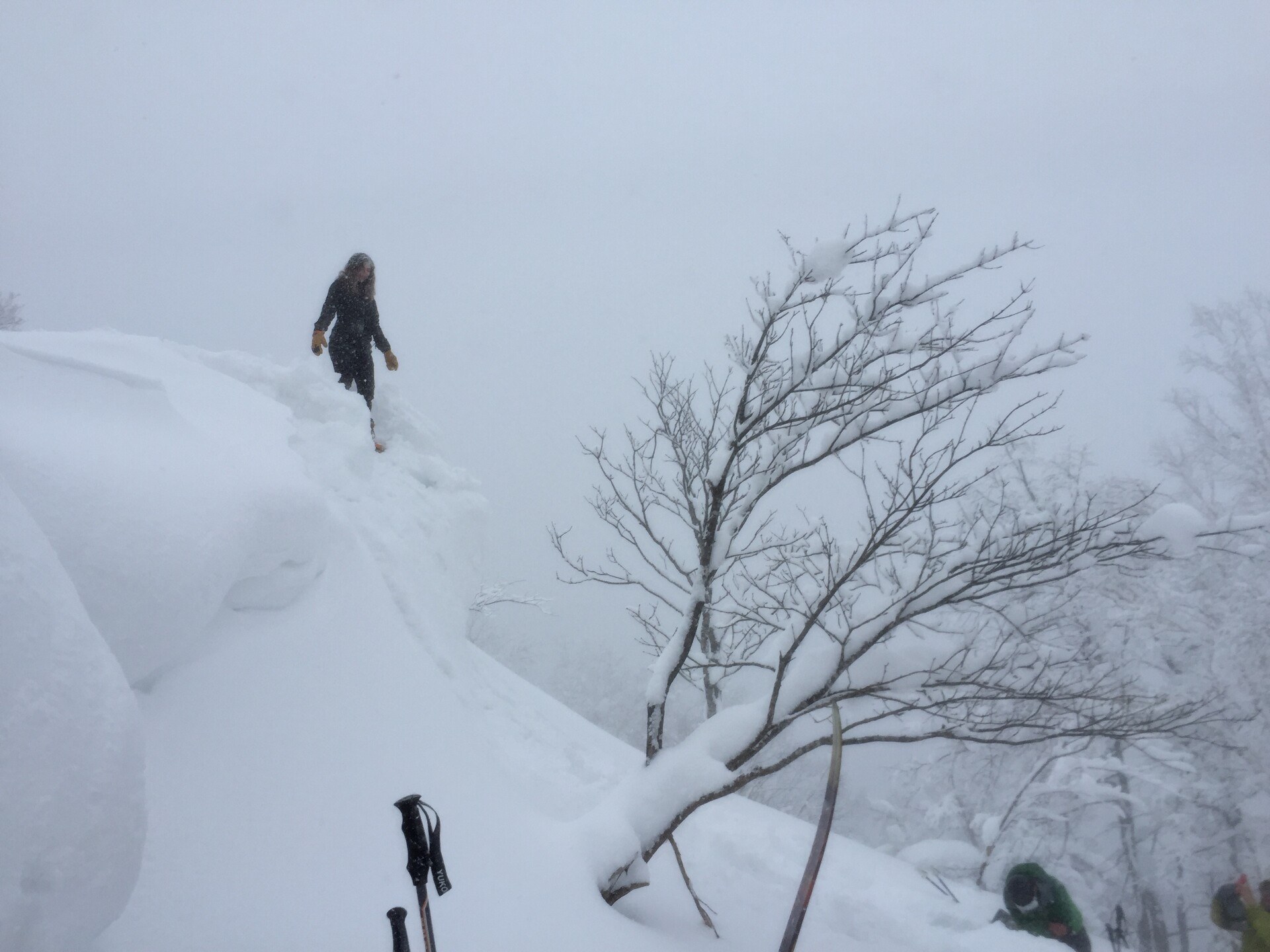
We trudged on up the steep slope, making big switchbacks, until we reached the end of the open slope and headed into the forest again. We cut back along the south face of the ridge above us, losing the trail of the pink tape and ducking through a pretty tight forest. Soon the trees thinned, though, and we came back out onto the top of the ridgeline heading towards the summit. From here it was a pretty easy walk up the top of the ridge. The season’s prevailing winds must have been coming from the west because there was a huge cornice on our side, maybe 2.5 or 3 meters tall. Below the cornice the slope was pretty even so we left our gear to the side and took turns jumping off the cornice into the powder below, which was a ton of fun.
I took off my skins and skied back down, getting some decent speed at points. The big field above the avalanche test was pristine and the powder was deep and I got a taste of what they try to make you feel in ski films shot at Niseko, but the slope wasn’t particularly long and the fun was over pretty fast. Past here there were a good number of flats, and I wound up pushing myself along, which wasn’t fun. In a few places the trail climbed short rises and I had to take my skis off and trudge up the snowshoe path in ski boots, which was miserable. The second-growth forest had some fun tree skiing but the snow was crusty and thin and lumpy from where it had fallen off the trees. at the bottom of the second-growth slope, I decided to put the skins back on–they were a little wet and the glue wasn’t cooperating, but they got me where I was going–and skinned out.
If I were to do it again I’d probably take off the skins for the ski down to the bottom of the steep slope below the summit (that is, that big open ridge), then put the skins back on and skin out from there. The few places where the slope was steep enough for good skiing past there didn’t have great snow, and having to plod along on skis was tiresome and tough.
Back at the car I pulled off all my sweat-soaked stuff, changed into dry clothes, and headed back into Asahikawa for a well-earned soup curry dinner. It was awesome.
intersection of 581 & 759: 8:10 -> first climb: 8:40 -> avalanche test area: 10:42-11:07 -> summit: 11:44-12:02 -> avalanche test area: 12:09 -> bottom of the climb (put skins back on): 13:03 -> intersection of 581 & 759: 13:23
climbing time: 3 hours, 34 minutes / descending time: 1 hour, 21 minutes
Next
Patagonia Nano-Air Hoody Review
The things I like about my favourite purple jacket, and the things that I don't.