Scugdale, Bilsdale Moor, Helmsley Moor
Training for the Fellsman takes me out this weekend to the North York Moors for a long trip across the wastes. The nominal purpose is to build up calluses and strengthen my tendons; I spend most of the run in a light sweat but breathing unlaboriously and enjoying the scenery—at least the scenery I can spy through breaks in clouds.
Sam drops me off on the Cleveland Way in Scugdale. A group of old blokes sit by the gate at the side of the road and chew sandwiches pensively. We greet them and I tell them my plan when they ask: to run 30 kilometres or so over the moor towards Helmsley. I don't intend to go as far as Helmsley, but they seem impressed nevertheless. "That's alright for a stroll, isn't it," one of them says. They wish me luck and I start off up the hill. As soon as I'm out of sight, I relieve myself.
I follow the Cleveland Way up Round Hill and then up to Brown Hill. I think that's what it's called: the name doesn't exist on the modern Ordnance Survey maps, but it's labelled as such as recently as the 1960s maps. From there a steep descent on slippery flagstones to the Lordstones Country Park. Lordstones always seems to be dead and empty whenever we pass through, populated only by dog walkers in big scarves and footwear insufficient for coping with all the mud. I don't know where the eponymous stones are. Gentle climb here up to Drake Howe, where a big stone throne commands views over Teesside on clear days. Another precarious descent here. I appreciate that flagstones help prevent soil erosion on popular trails, but I coulda done without em today.

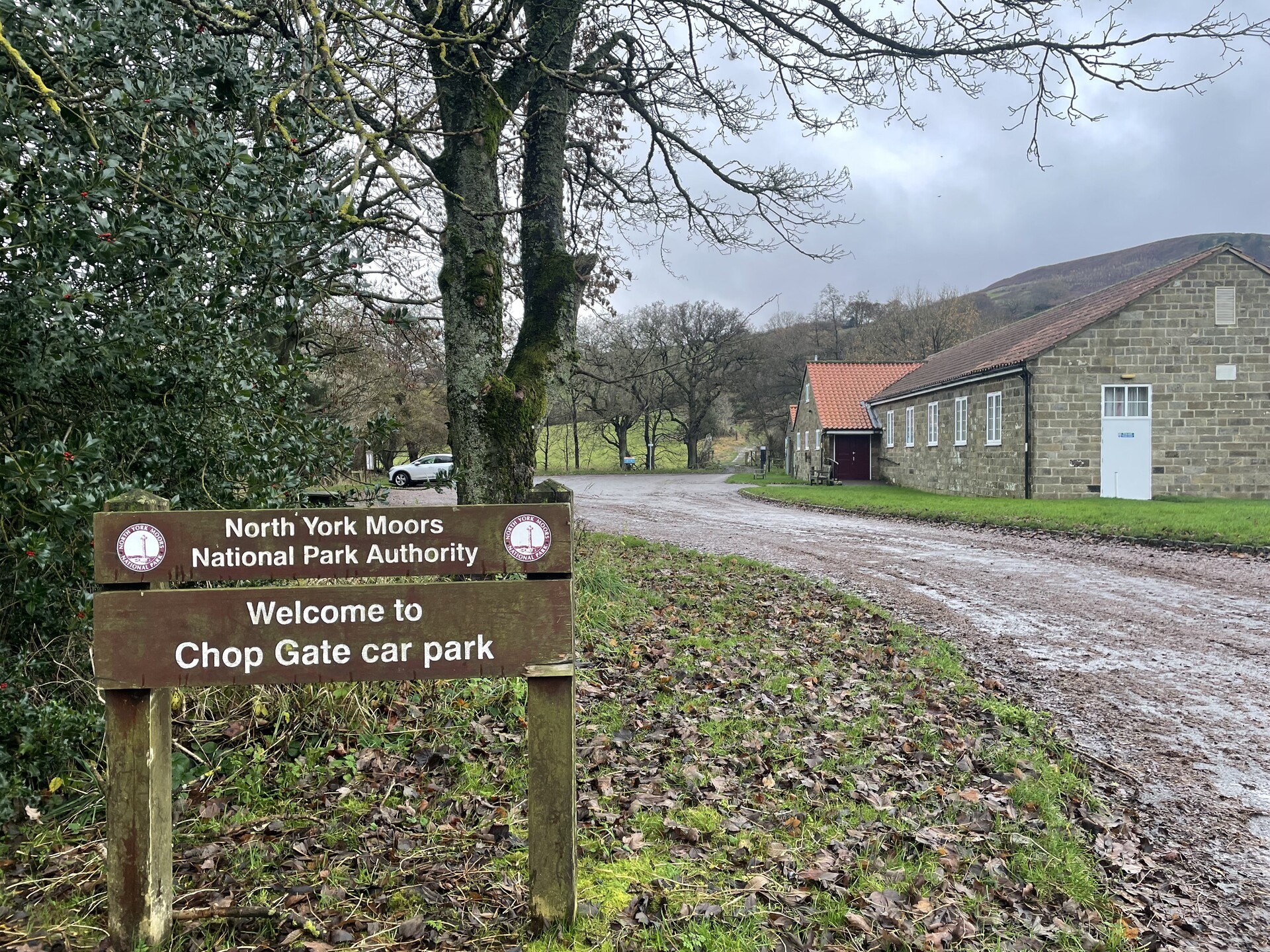
Another steep climb, this time up a hill that I cannot for the life of me find the name of. Really old maps have a wood covering the moor here called the Mount Vittoria Plantation, but the plantation's long gone nowadays. I turn right and begin a long descent down the back of Cold Moor, following the ridgeline and dropping from a sandy track into a boggy notch between fields. By and by I come to Chop Gate (pronounced, confusingly, as chop yat) and follow the road down to the public car park, whereupon the climbing begins anew.
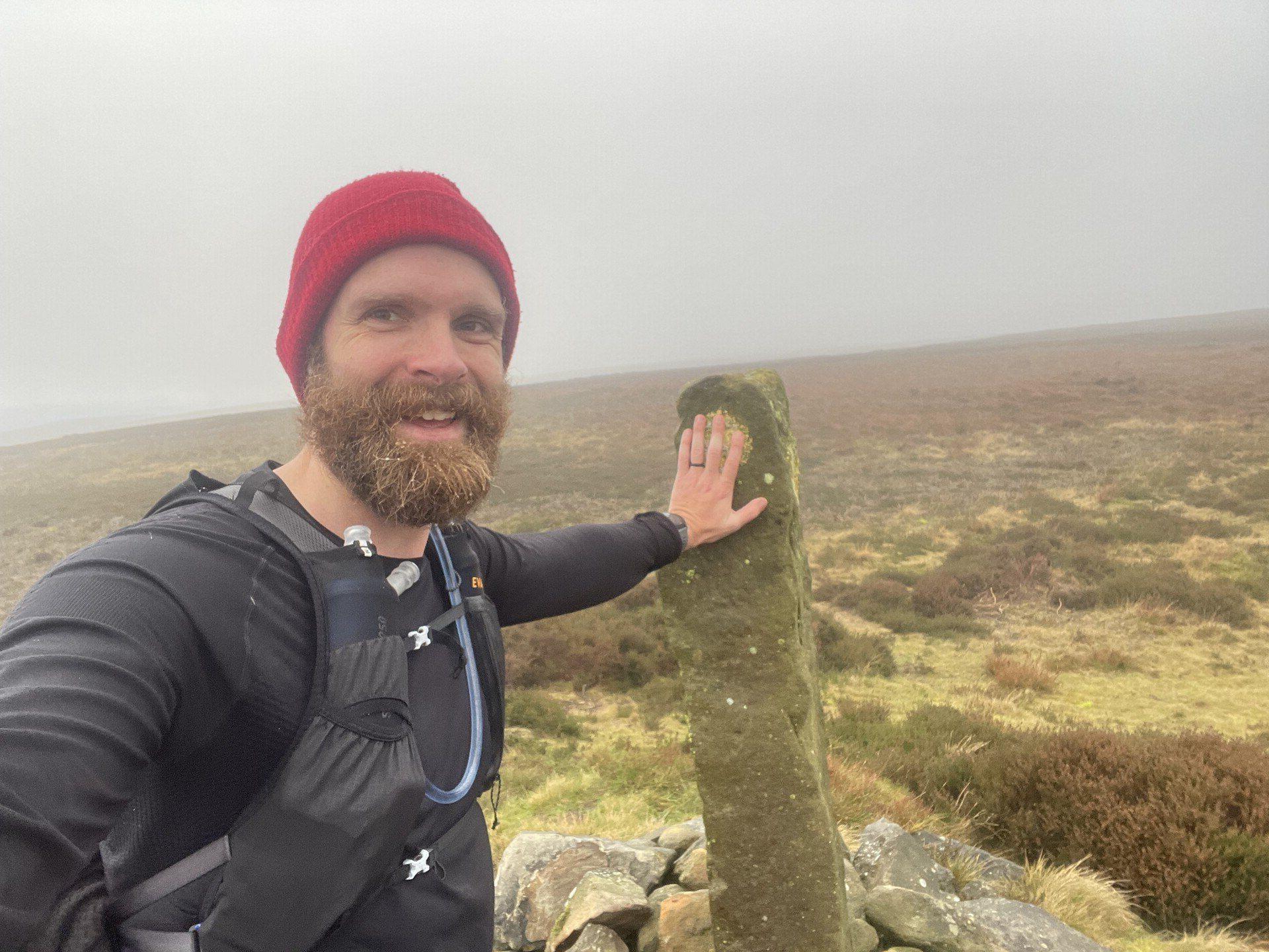
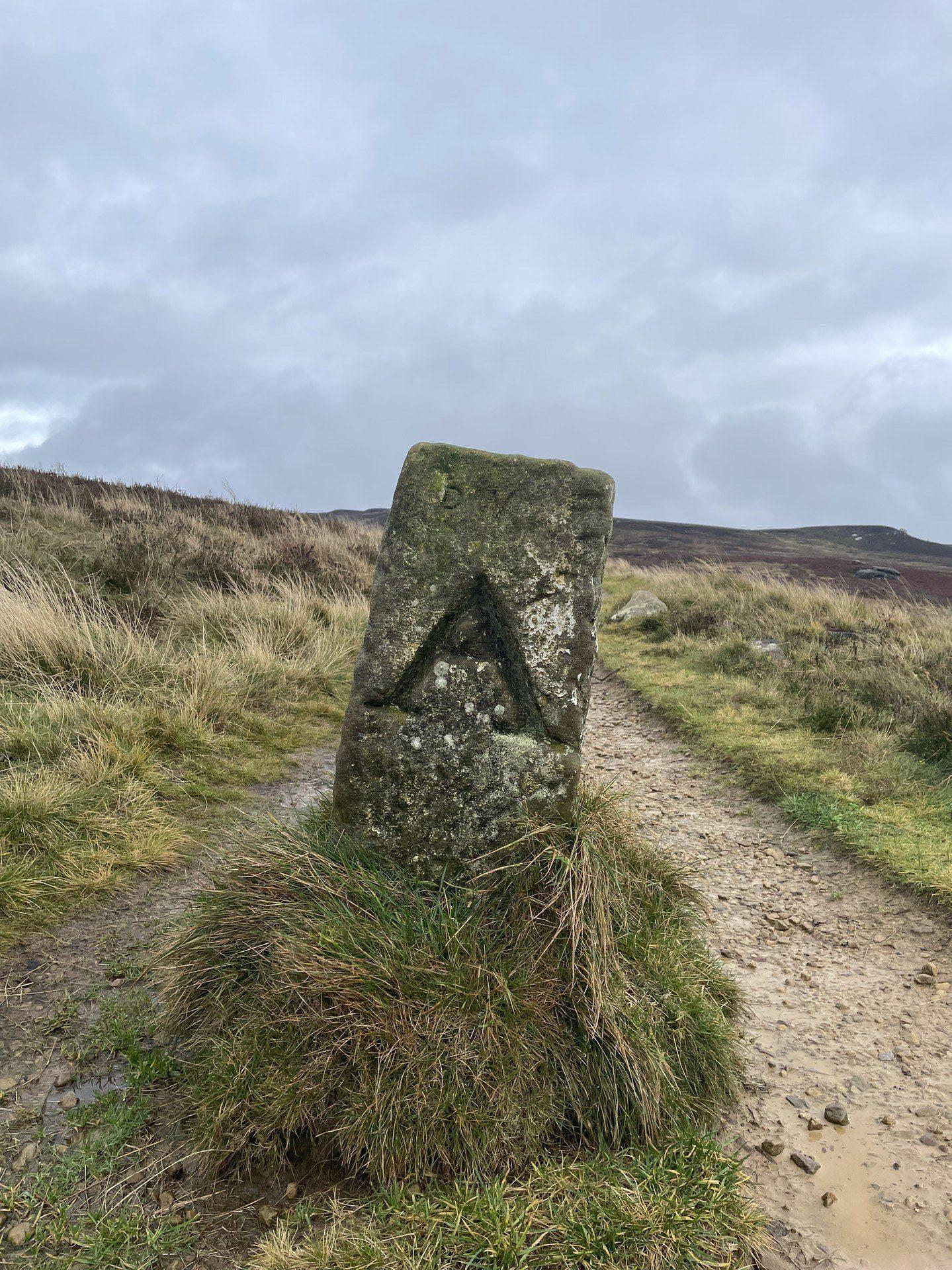
More bog and mud ascending Trennet. The upper slopes are covered in a thick, dewy grass, prone to soaking you through on any but the driest days. There's a plantation at Trennet Bank on the brow of the hill, but it appears to have been harvested in the past couple years, and a landscape of black stumps and woody detritus is all that remains. The standing stone at Cock Howe is a welcome sight at the end of the longest, steepest climb I'll undertake today.
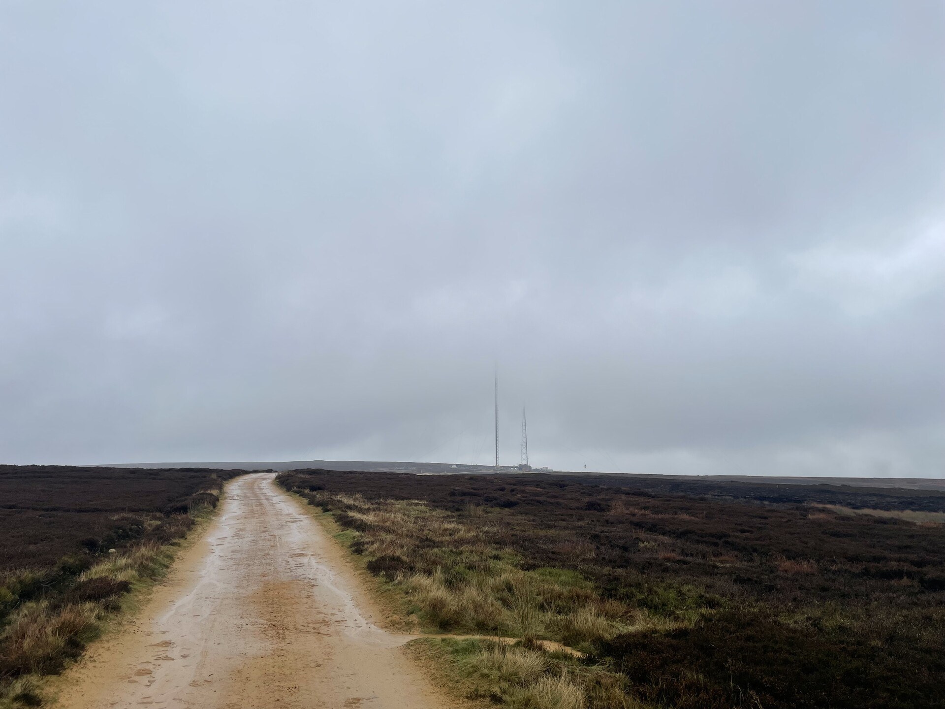
From here, a long traverse across Bilsdale West Moor, site of the Bilsdale Transmitting Station, which famously caught fire and was destroyed in 2021. Unable to reconfigure the satellite in our loft to receive signal from the tower at Pontop Pike, we stashed the television in the attic and haven't retrieved it since. A new transmitting tower has since been erected at the site of the old one. It's about the same height as the Eiffel Tower and today is wreathed in cloud and mostly invisible. It's a long descent—featuring two separate moors!—but easy enough.
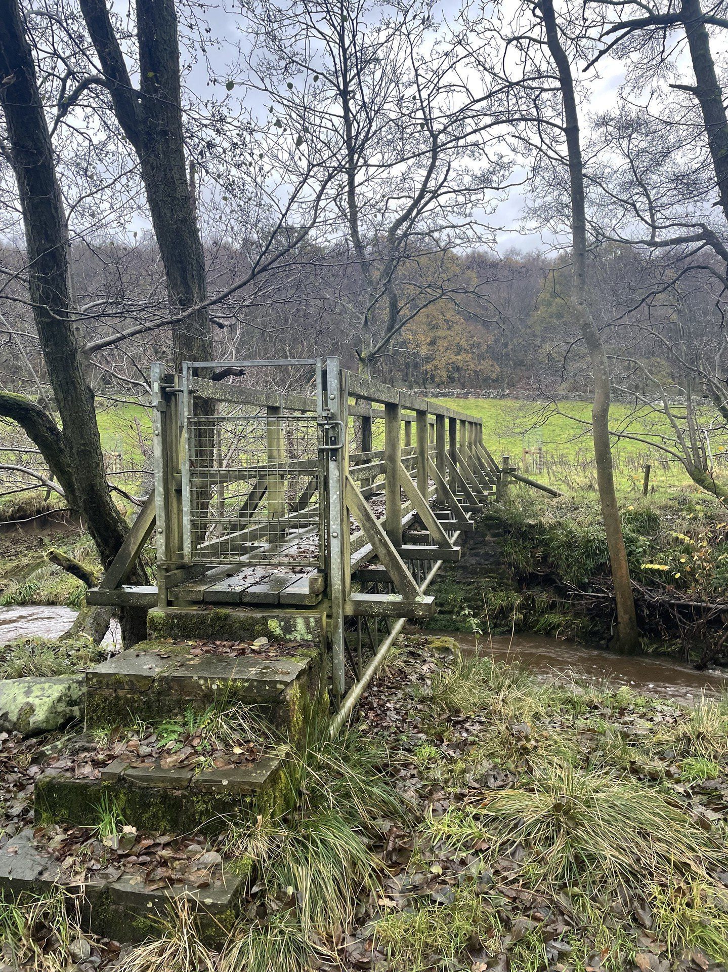
I follow a road down past a farm and across grassy field to a gated footbridge across the River Seph, here at the lowest point on the run. The gates on the footbridge are rusty and covered in cobwebs; the bridge itself is slick with biofilm and moss. I cross with extreme caution. A couple of similarly slippery stiles on the far banks take me up to a short section of road running. There is, luckily, ample verge.
From here, a steep climb through a farm. The sheep are out in the fields but the cows are corralled in a big corrugated barn, from which they eye me dispassionately. It's not dark yet, but night is gathering on the horizon. Not too far to go. A flock of white Texels scatter as I round the corner of a semiruined drystone wall. A single black sheep, larger than the Texels by half again—which is saying something, if you've been up-close with a Texel—stands its ground, trying to meet my eye. I clomp past.
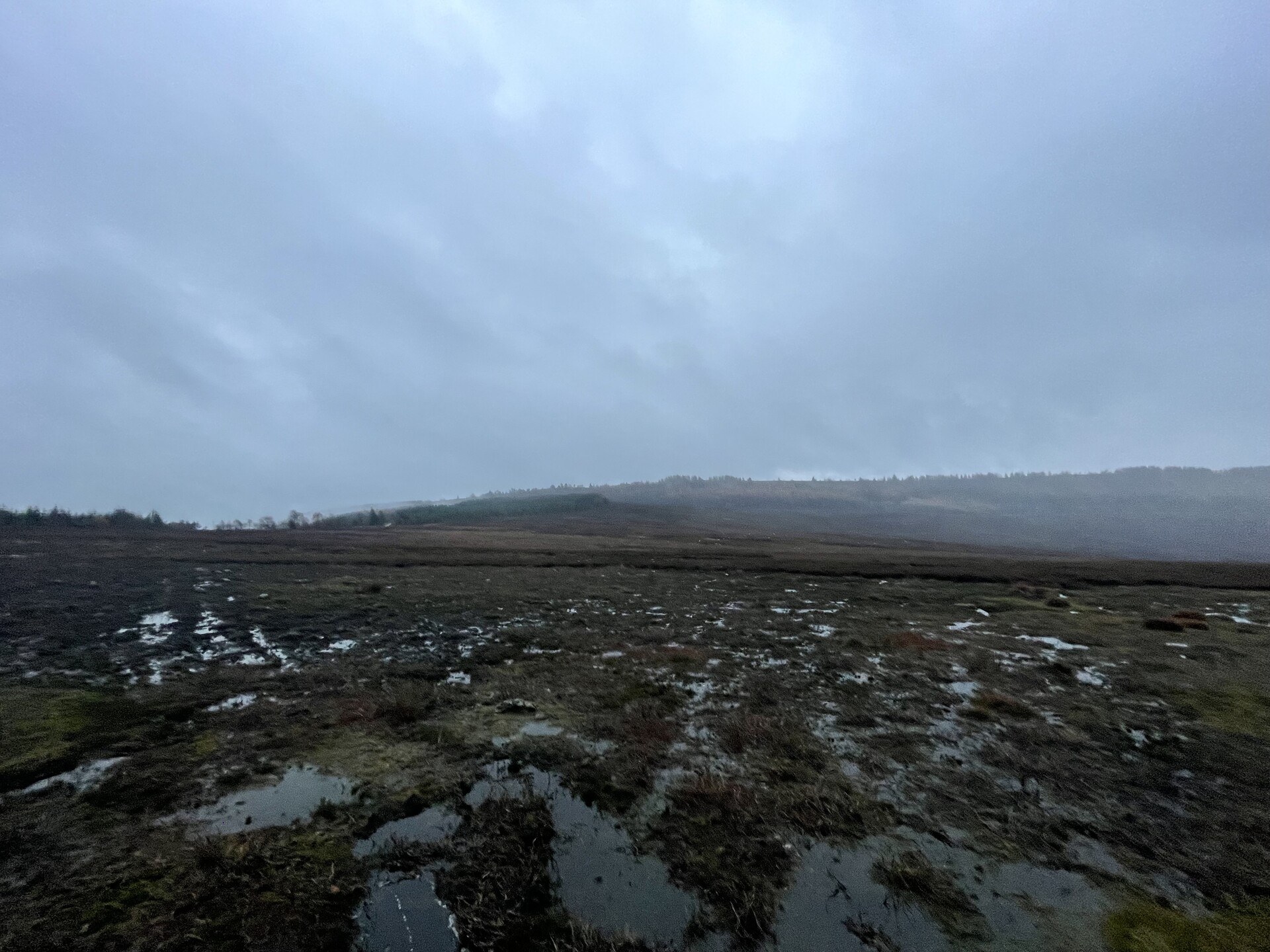
The Ordnance Survey map I'm using indicates, by a green dotted line, that there is a path across Laskill Pasture Moor, but there is no such path. Better, if you're following in my footsteps, to follow the wall north a little bit to intercept the dirt track that crosses the moor—unless, of course, stomping through bogs and heather is Your Thing.
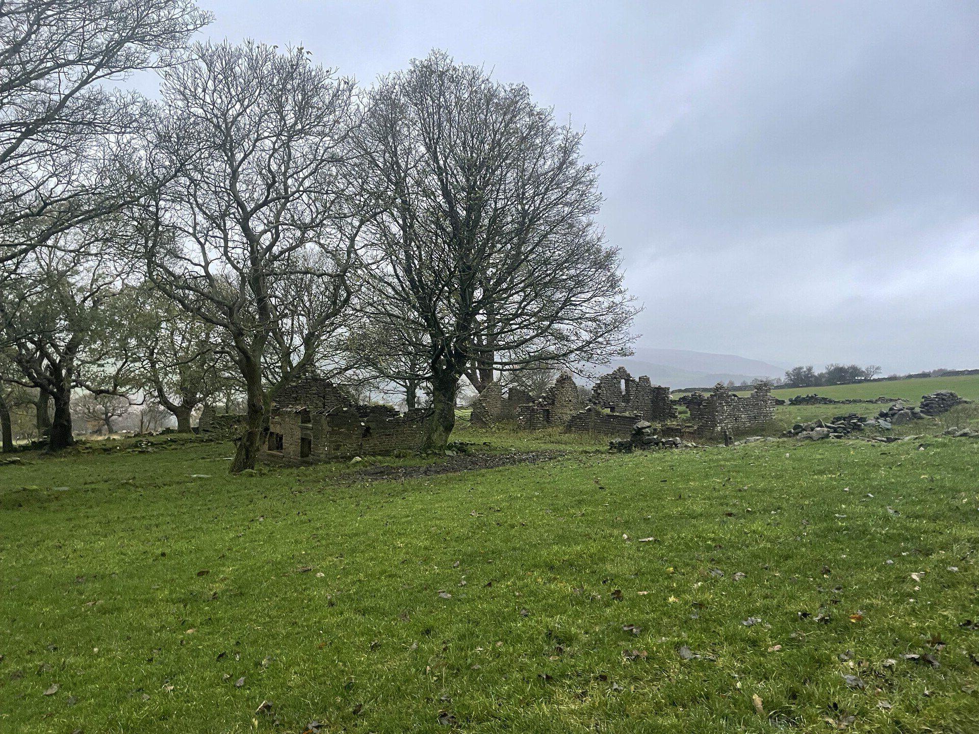
At the far end of the moor is a big complex of fences, gates and stiles taking you into a series of managed woods. I get the sense that these are a really lovely place to take your dog for a walk, on a nice day. The fog closes in a bit with the darkness. A handful of grouse waddle on ahead of me as I climb Helmsley Bank—my last climb of the day.
From here, it's a short jaunt on easy trails to the car park at Cowhouse Bank. I pick up the pace for a big finish. Another ten minutes and I'd've had to get my headlamp out.
Next
Running the cross country fixture at Aykley Heads on a cold, sunny November day. Lots of hills, blessedly little clart.
Previous
Out with Striders to check out the Lumiere installations. Most of them were dark but the run was lovely.