Yorkshire 3 Peaks Walk
The Yorkshire 3 Peaks challenge is the seminal long-distance walk in the Yorkshire Dales. Crossing the three fells of Pen-y-ghent, Whernside, and Ingleborough, it takes in some of the best countryside for miles around, and on a clear day boasts views out over the North York Moors and the Lakes (and even, apparently, Snowdonia—if it's really clear).
I walked the route on a brisk, bright day at the beginning of March, starting at Chapel-le-Dale and walking the route clockwise, as opposed to the usual counter-clockwise route. I was walking with a friend from Newcastle's Training Club, raising money for Andy's Man Club, a men's mental health charity out of Halifax.
There's a massive layby in Chapel-le-Dale where you can stash the car during the day, but it fills up pretty quick, so you'll want to arrive early. From there, we walked down the road a short stretch and turned up Philpin Lane towards the imposing flank of Whernside ahead. The walk up through the farm was easy enough, paved for most of the way, before breaking into a tumble of flagstones that made the going easy (but steep). A short puff later, we broke out onto the shoulder of the giant, with another short climb, and then a long relatively easy walk along the crest of the hull-shaped mountain to the summit of Whernside.
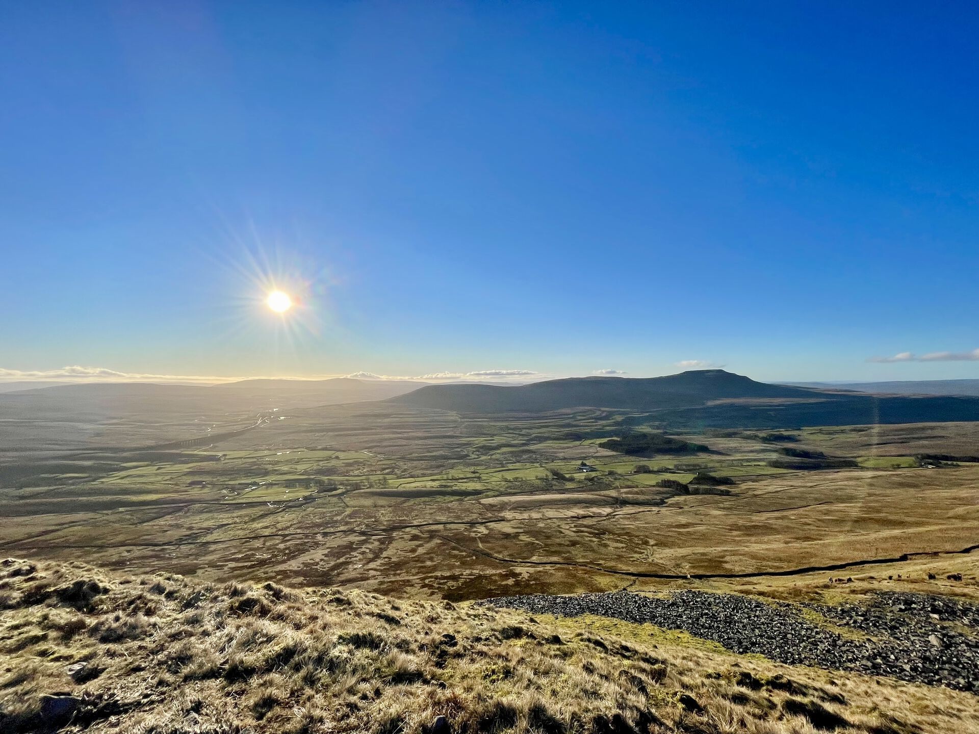
There's a small wind shelter, a trig point, and a gap in the wall at the summit, but not much else. Great views over round Ingleborough, down to the Ribblehead Viaduct and the winding railway that spans it, and, far off—too far off—the craggy shape of Pen-y-ghent.
The descent from Whernside wasn't too much trouble—flagstones here again for the boggy bits, and a well-used gravel track the rest of the way down along the railway to Ribblehead Viaduct—much bigger when you're right up close to it than it looks from afar.
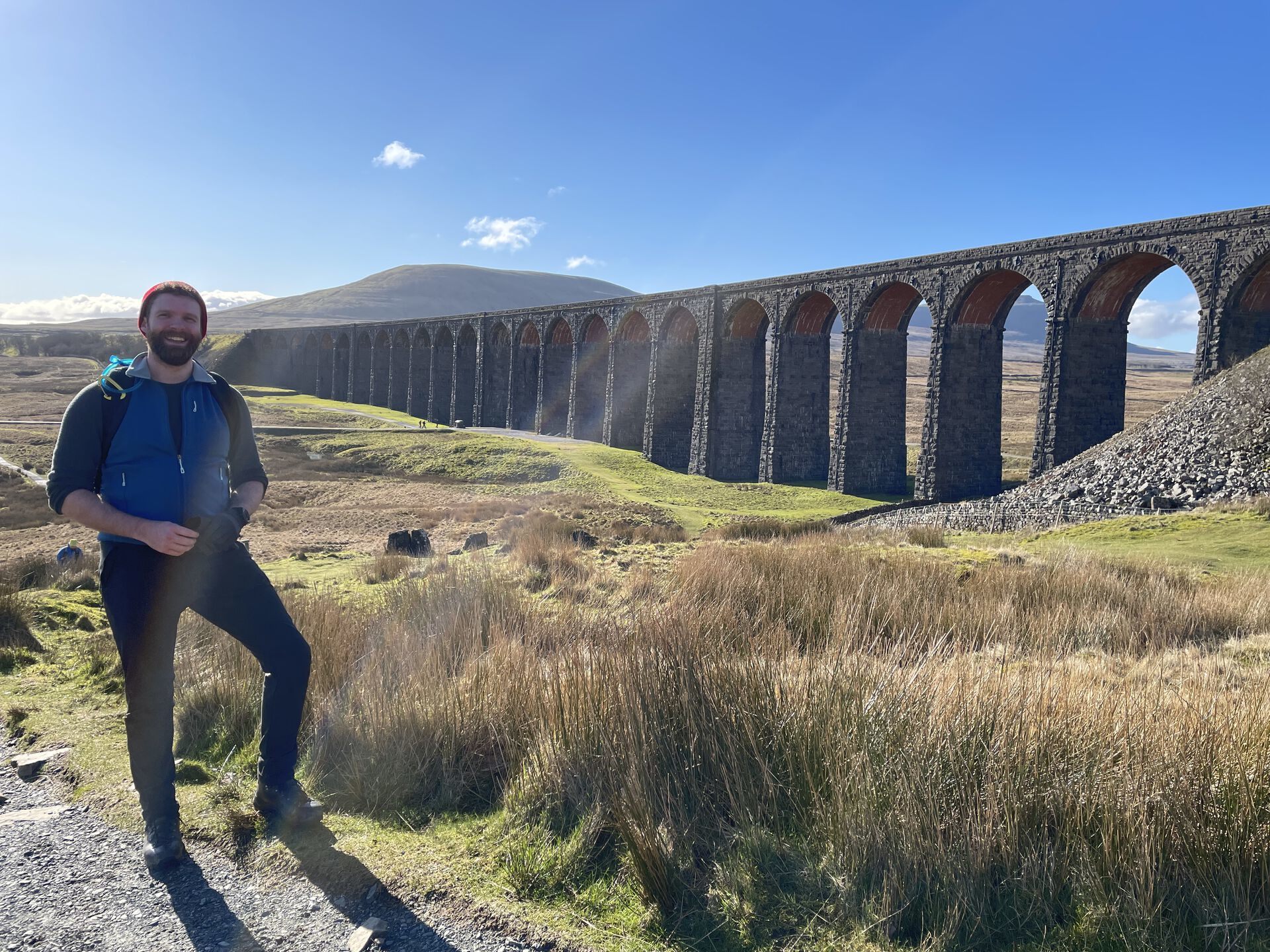
From there, we trudged down a tarmac-ed road for a little bit—easily the least picturesque part of the walk—before turning off at a barely-signposted road down to Lodge Hall, a small farm in a bit of a crook of the River Ribble. We continued up a track to Nether Lodge and then over some grassy fields to High Birkwith and onwards to the Pennine Way, following the signposts for the Yorkshire 3 Peaks.
Turned south on the well-maintained Pennine Way for a short stretch before turning left onto what looks like a new trail—it's just a grey dotted line on the OS Maps but it's well-groomed with slate nowadays. Easily navigable in trainers, though I'd still recommend more sturdy footwear.
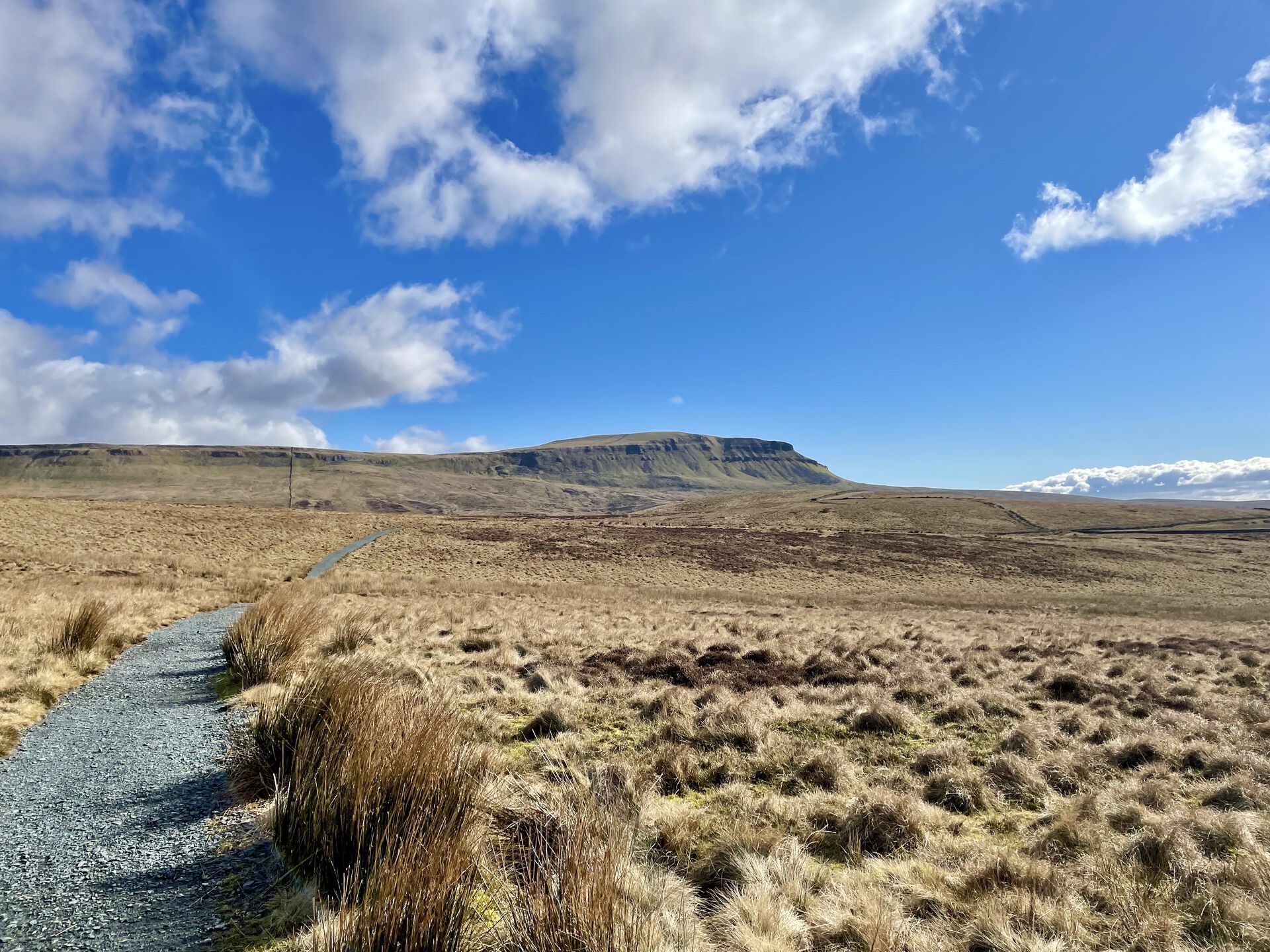
By this point, Pen-y-ghent was getting quite large before us, so it was only a short jaunt over a wide open moor before we came to the bottom of the long slog up the side of the mountain. We set our sights on where the trail cuts sharply right and made it before too long. The flagstone trail is shaped into stairs along here, which makes the going luxurious.
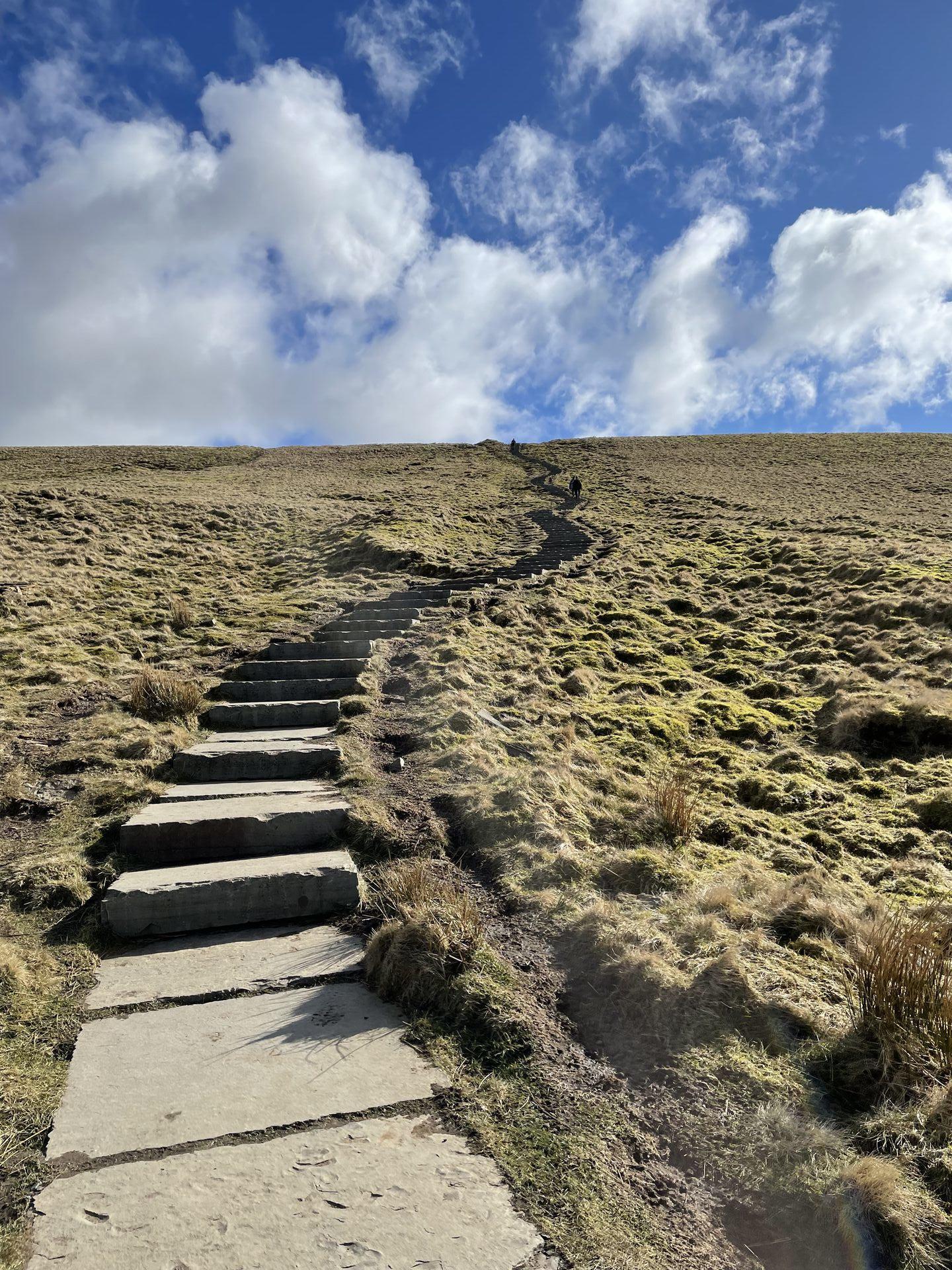
From where the trail curves it's relatively easy going on to the summit of Pen-y-ghent. Pen-y-ghent might be the shortest of the Yorkshire 3 Peaks, but it's certainly not the least interesting (that honour probably falls to stoic Whernside). Try to spot the massive Hull Pot below you, near the trail you came up: it's the giant hole in the ground. Apparently it's the giantest natural hole in the ground in England. Beyond, Whernside should look a decent stretch away: well done for coming all this way. Now it's time to head back.
The descent down the south face of Pen-y-ghent is a steep one but eminently manageable. At a pinch I'd call it an ungraded scramble—you'd want grippy footwear in wet weather, but today we leapt down it like mountain goats. Before too long we were at the bottom, and with a last look back up on imposing crag, started the slog down to Brackenbottom. Easy enough going but rough on the knees after so many kilometers.
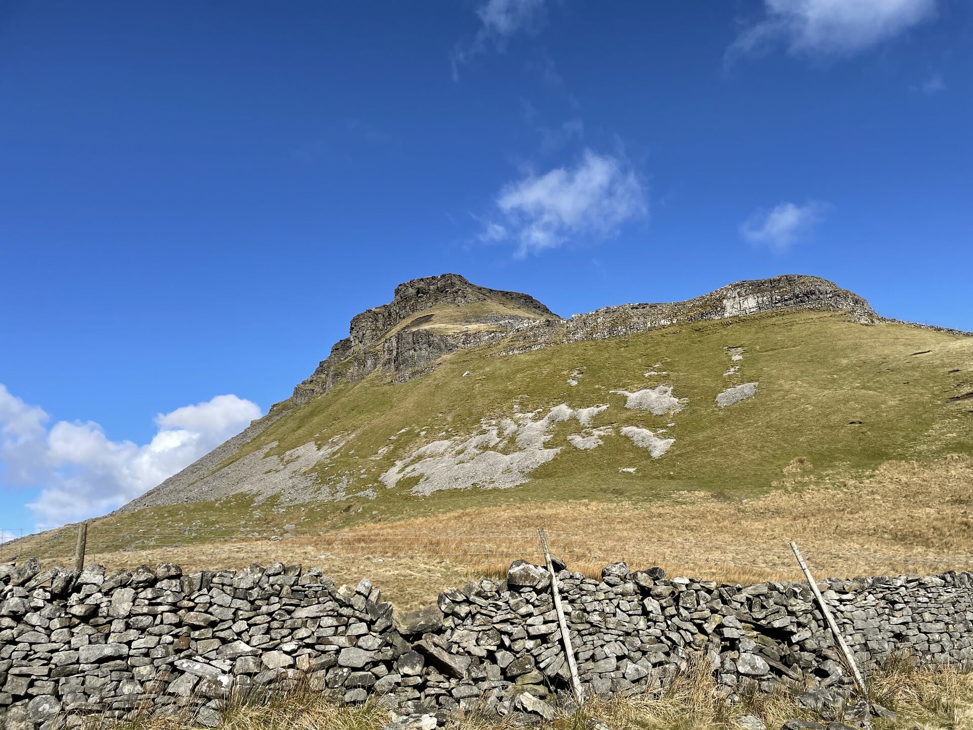
The signs are pretty scarce in Horton-in-Ribblesdale; we made our way out to the main road, followed it over a couple of bridges to the train station. We didn't realise that the trail crossed over the station and up the hill beyond it, so we continued up the road, under the rail bridge, and then doubled back on ourselves down the gravel track to Beecroft Hall. Before reaching the hall, we cut back again, through a gate and on the long walk across Sulber to Ingleborough.
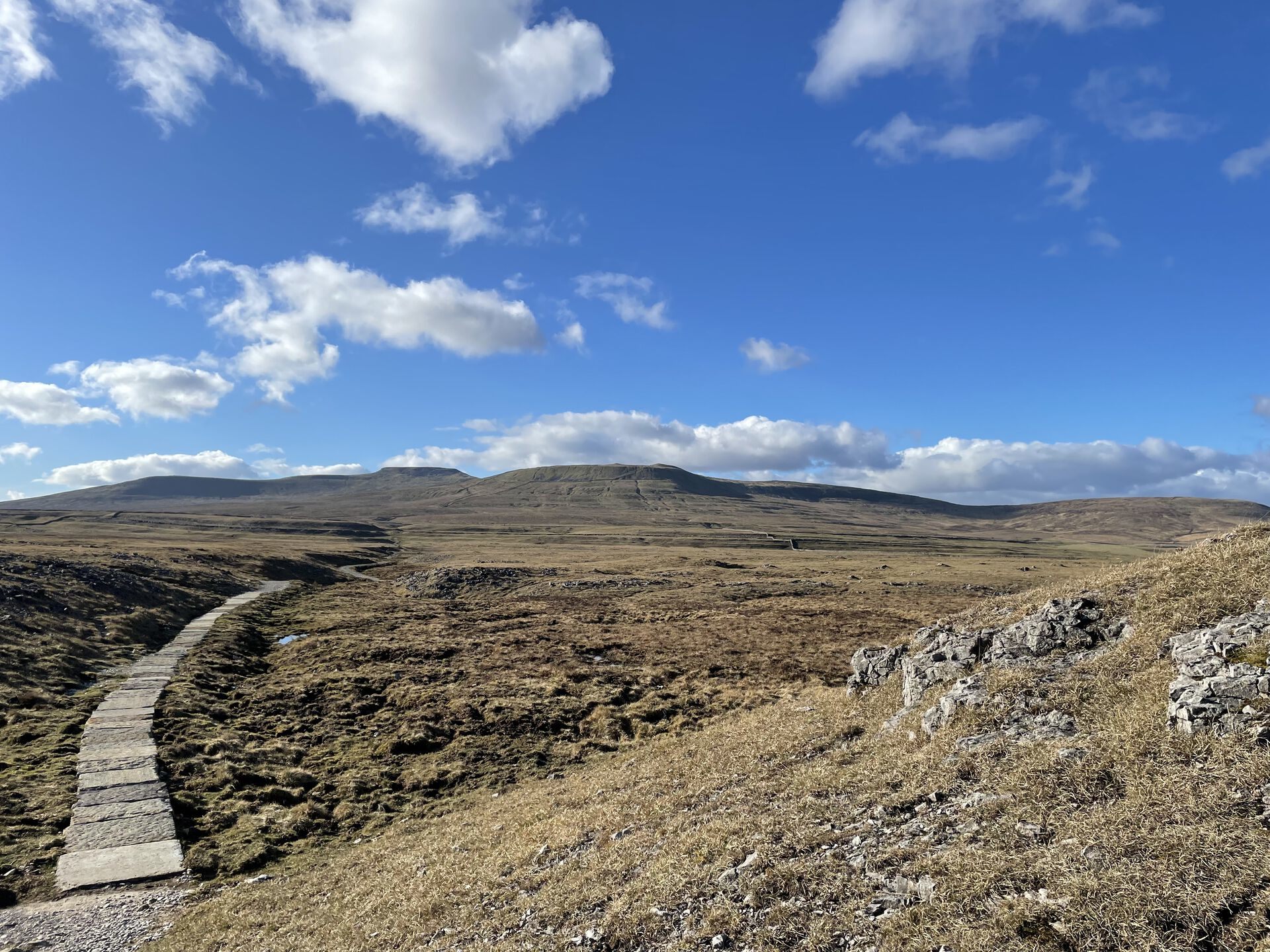
The trick here isn't to look at the mountain: it doesn't get any closer until you're right on top of it. The rocks of Sulber are diversion enough, though—they stick up in all sorts of wonky directions and threaten to roll your ankle if you're not careful. We pushed hard through here for the climb up to Ingleborough, taking a short break when the trail started to steepen.
Once we rounded the ridge onto Simon Fell Breast, the trail evened out a bit—easy walking on loose stones through here, followed by a short, steep climb up to the craggy table of Ingleborough itself. Plenty of wind as we climbed the terrain didn't pose much of a challenge. I've seen it described as a scramble elsewhere online, but Pen-y-ghent was a more technical descent than this.
Before too long we clambered up onto the rocky summit of Ingleborough—a broad plateau with cairns here and there, and a massive, well-built cross-shaped wind shelter just next to the trig point. By this point we were used to the views, but Ingleborough boasts the crumbled remains of an Iron-age hillfort wall around its perimeter, which was interesting to see. If you've got the time and energy, check out the old cairn on the western end of the summit—it's apparently the remains of a tower that was partially torn down during a drunken revel (and totally torn down sometime thereafter).
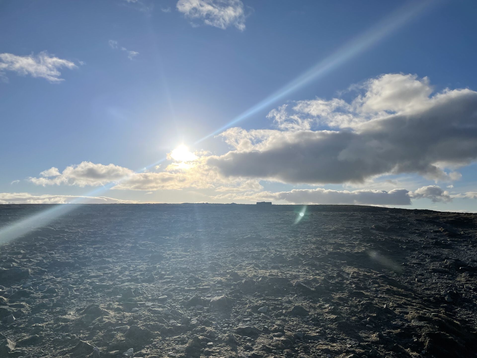
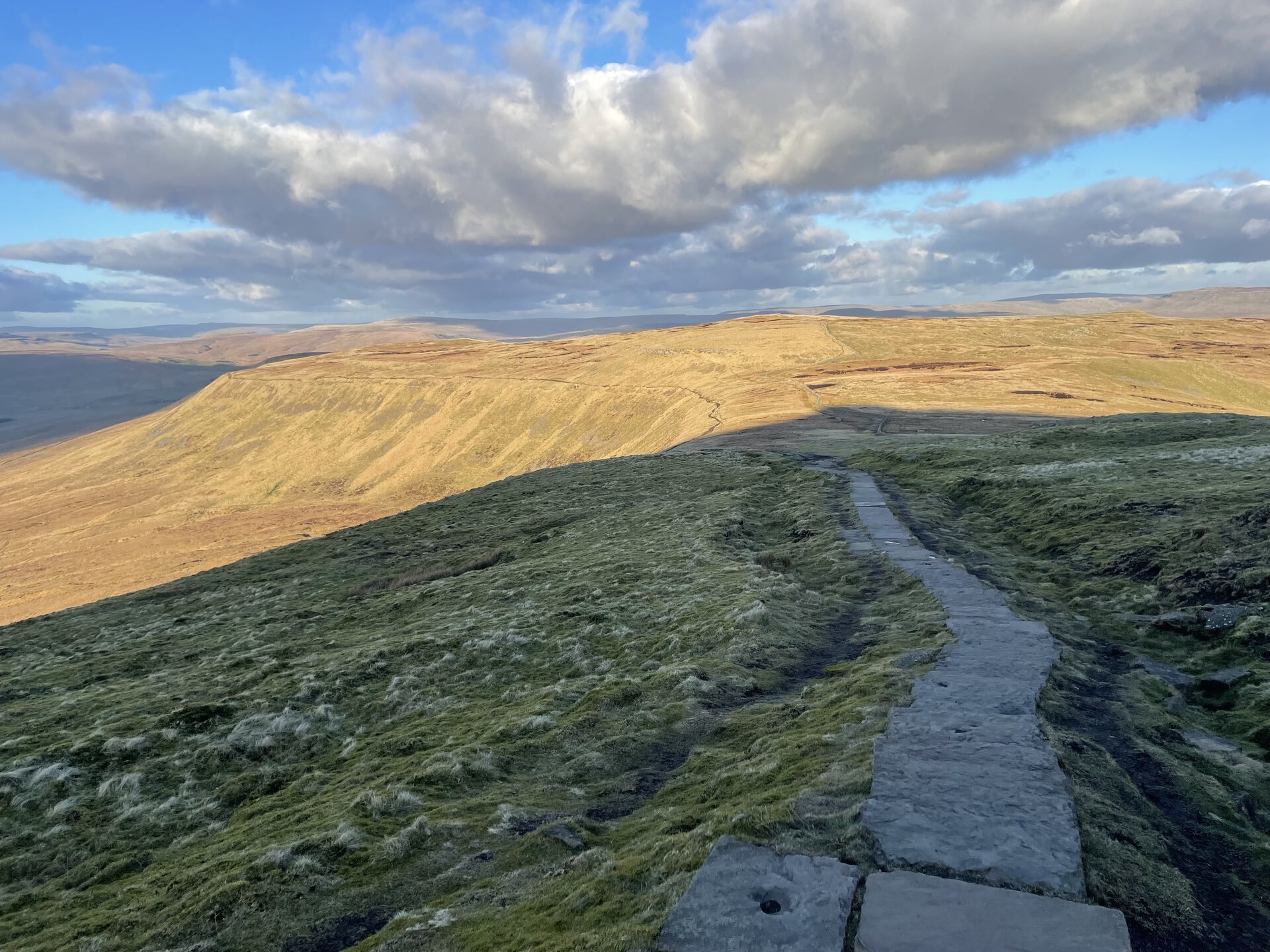
We headed back the way we came for the knee-crunching descent back to Chapel-le-Dale. There was a steep section as we dropped off the saddle between Ingleborough and Simon Fell, but the rest of the descent's pretty tame—mostly flagstones as it crosses a boggy area, then a rocky trail through a long craggy scar, then a short jaunt across a couple of grassy fields, and back out to the car!
Previous
The MDN redesign is nice but it's missing one key thing to differentiate it from all the other docs sites out there.