Grasmere Greenburn Valley Loop
From the big layby on the road north towards Thirlmere (over Dunmail Raise), head up the road and turn off left down a paved farm road. Follow the road down, right, and then up again towards the ridge of Cotra Breast.
The beginning of the climb, across a big grassy field and through a gate, isn't particularly attractive, but the views of Grasmere start to open up as you approach the first crag. The trail curves around and climbs above it, and then a couple of other crags above, before reaching the summit of Steel Fell—the highest point on the walk—very suddenly.
The trail onwards winds down off the back of Steel Fell through a sort of undulating landscape of crags, hillocks, and bogs. There's not much of a trail to follow, but you should be able to spot the paths by the compressed grass.
Calf Crag gradually asserts itself off to the left as you walk; the main trail follows the boundary line past Calf Crag and then cuts backwards, but there's a more direct route across a shallow bog that takes you directly to the summit of Calf Crag.
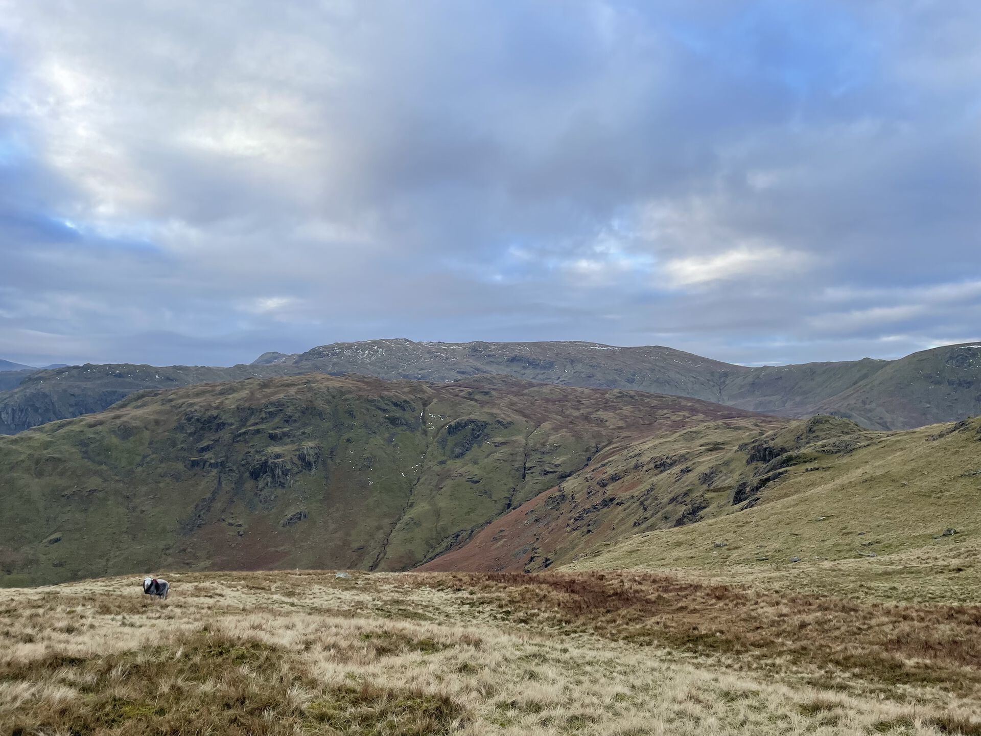
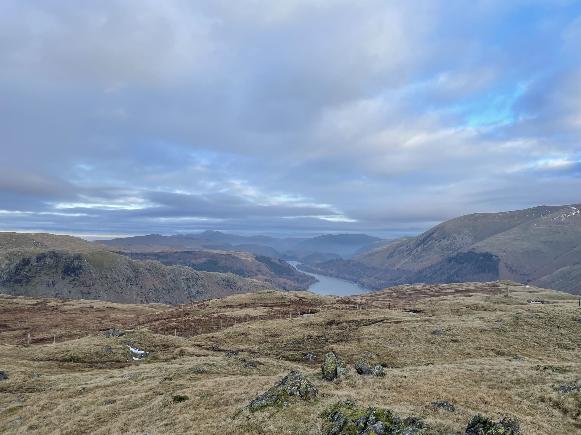
From here, you should be able to see the long ridge heading off over Gibson Knott (sort of indistinct-looking from here) and Helm Crag in the distance. It's farther than it looks, but the trail ahead is easy walking.
The trail on the Ordnance Survey maps looks like it winds along the southern flank of the various crags along the ridgeline; we had trouble following it and wound up crossing over the tops of the crags—better views from the tops anyway.
You'll arrive at length at the summit of Gibson Knott, distinguished only really by its summit cairn. From here you'll probably spot a fair few folks coming down the back side of Helm Crag, rising in front of you. Drop down into a little saddle and then tackle the final climb to the summit of Helm Crag. It's steep but very short.
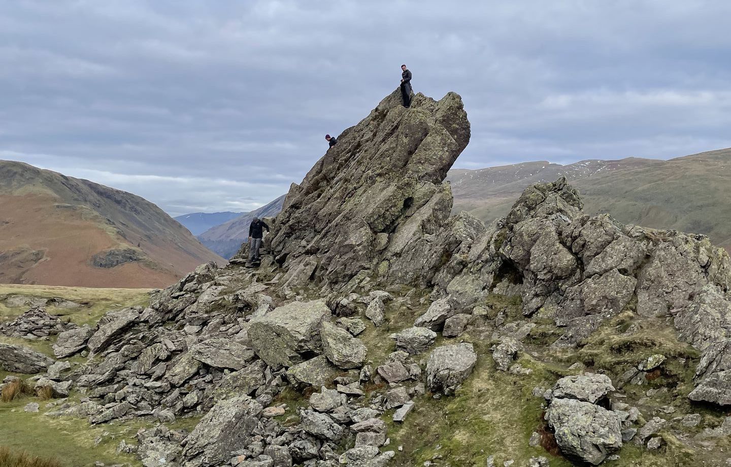
The west end of the summit is where you'll find The Lion and the Lamb, a big crag split into a big part and a little part. The big part is climbable if you've got some chutzpah (I didn't). On the north side the crags drop down vertically a few hundred feet.
Head eastward along the top and follow the path down the front of Helm Crag. The town of Grasmere, with the lake in the background, presents a picturesque view as you descend. There's a steep route down the face and a shallower, well-used route off to the right (grey dotted line and green dotted line, respectively).
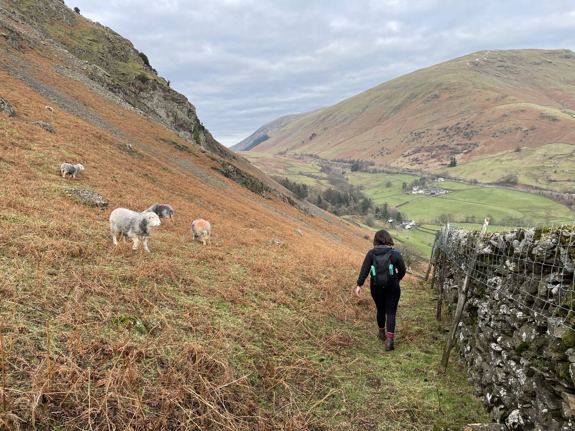
Once you're below White Crag, make your way to the old drystone wall that curves off north below High Raven Crag. Follow the wall off north, towards Ghyll Foot Farm. The area marked with footbridges on the OS Maps has been built up by the farm and is private land now, so walk a little further on and cross the Green Burn where you can. You'll then have to make your way over a drystone wall; someone has conveniently leaned a ladder up against it near where you started the climb up Steel Fell earlier.
Over the wall, head back down the farm road to the A591 and back out to the layby.
Previous
The Lynx browser is a text-only browser that runs in the command line, and part of me really likes that.